Hurricane Ida struck Louisiana on August 29, 2021, the 16th anniversary of Hurricane Katrina. The timing was more than symbolic: Ida made landfall as a powerful Category 4 hurricane with maximum sustained winds of 150 mph (240 km/h), 25 mph (40 km/h) stronger than Katrina at its Louisiana landfall, striking much of the same region Katrina had devastated. The storm caused $75 billion in damage (U.S. damage, 2021 dollars)1 and 55 direct and 32 indirect U.S. deaths classified in the NHC report, with two additional U.S. deaths of undetermined cause.2 Ida's devastation extended far beyond Louisiana: its remnants merged with an approaching cold front over the Northeast, producing extraordinary rainfall and flooding that killed people in places few would associate with a Gulf hurricane, an urban basement in New York City, a New Jersey transit van, a Pennsylvania home. Ida showed how post-tropical hurricane remnants can pose catastrophic risk far inland.
Rapid Intensification & Landfall
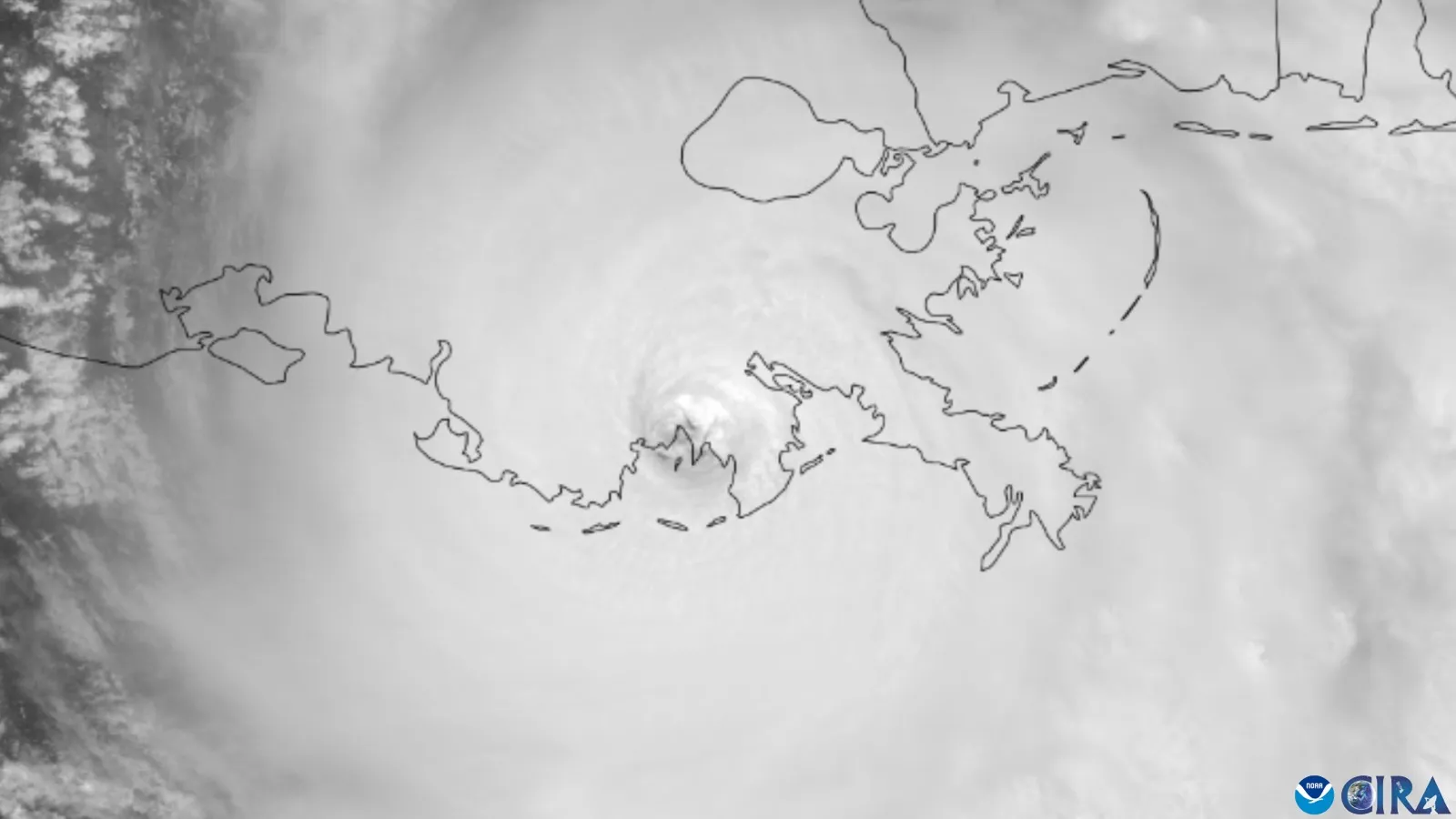
Ida formed in the Caribbean on August 26 and intensified rapidly over the Gulf before landfall near Port Fourchon on August 29. NHC estimates landfall winds of 130 knots (150 mph) and pressure of 931 mb. Ida was among the strongest Louisiana hurricanes; a claim that it was the strongest to affect the state would overlook Camille’s Category 5 passage over coastal Louisiana in 1969.2
The landfall coinciding with Katrina's anniversary (August 29, 2005) created profound psychological impact for Louisiana residents rebuilding from that historic disaster. Ida struck the same vulnerable region: Plaquemines Parish, St. Bernard Parish, and surrounding areas where Katrina had caused catastrophic damage 16 years earlier. Flooding, power loss, and structural damage affected communities still recovering from previous hurricanes.
Ida's winds devastated southeastern Louisiana's electrical grid. A major Entergy transmission tower collapsed into the Mississippi River near Avondale, and the failure of several key lines knocked out power to all of New Orleans and to roughly one million customers statewide; restoration varied by location and some outages lasted much longer than ten days.2 The upgraded post-Katrina levee and floodwall system protecting New Orleans held, sparing the city the catastrophic flooding of 2005 even as the surrounding power and water systems faltered.
Regional Impacts & Northeast Flooding
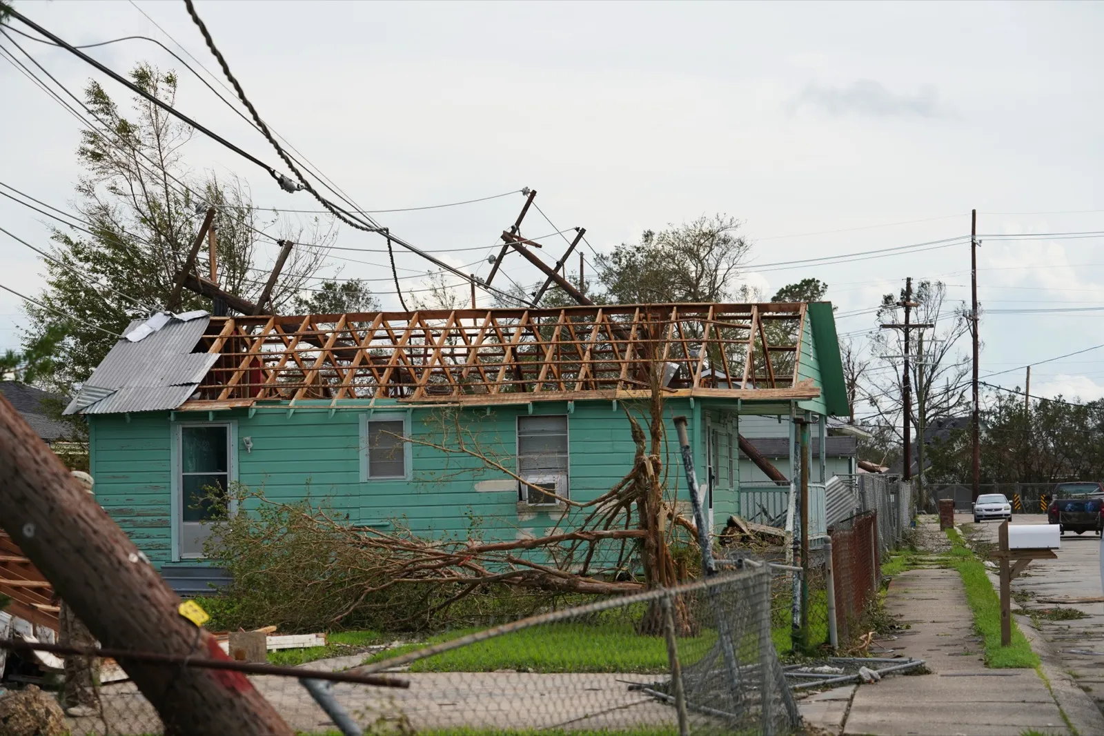
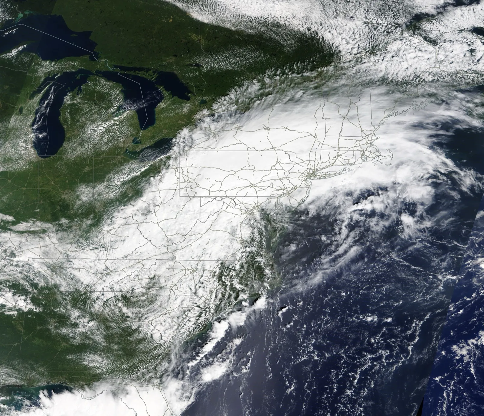
In Louisiana, Ida's 150 mph (240 km/h) winds caused severe damage: homes were destroyed, power transmission towers toppled, and power loss affected 1 million customers. Flooding occurred both from storm surge and inland rainfall. Most deaths, though, occurred far from Louisiana when Ida's remnants moved northeast and merged with a cold front, producing extraordinary rainfall over Pennsylvania, New Jersey, and New York. Flash flooding inundated normally dry areas. Basement apartments in New York City flooded fatally as water rose within minutes; a New Jersey van full of workers was submerged. The inland disaster showed that hurricane remnants, though weakened in wind, retain extraordinary moisture and can produce catastrophic flooding far from the coast.2
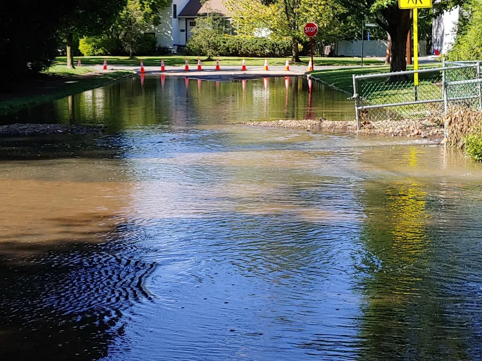
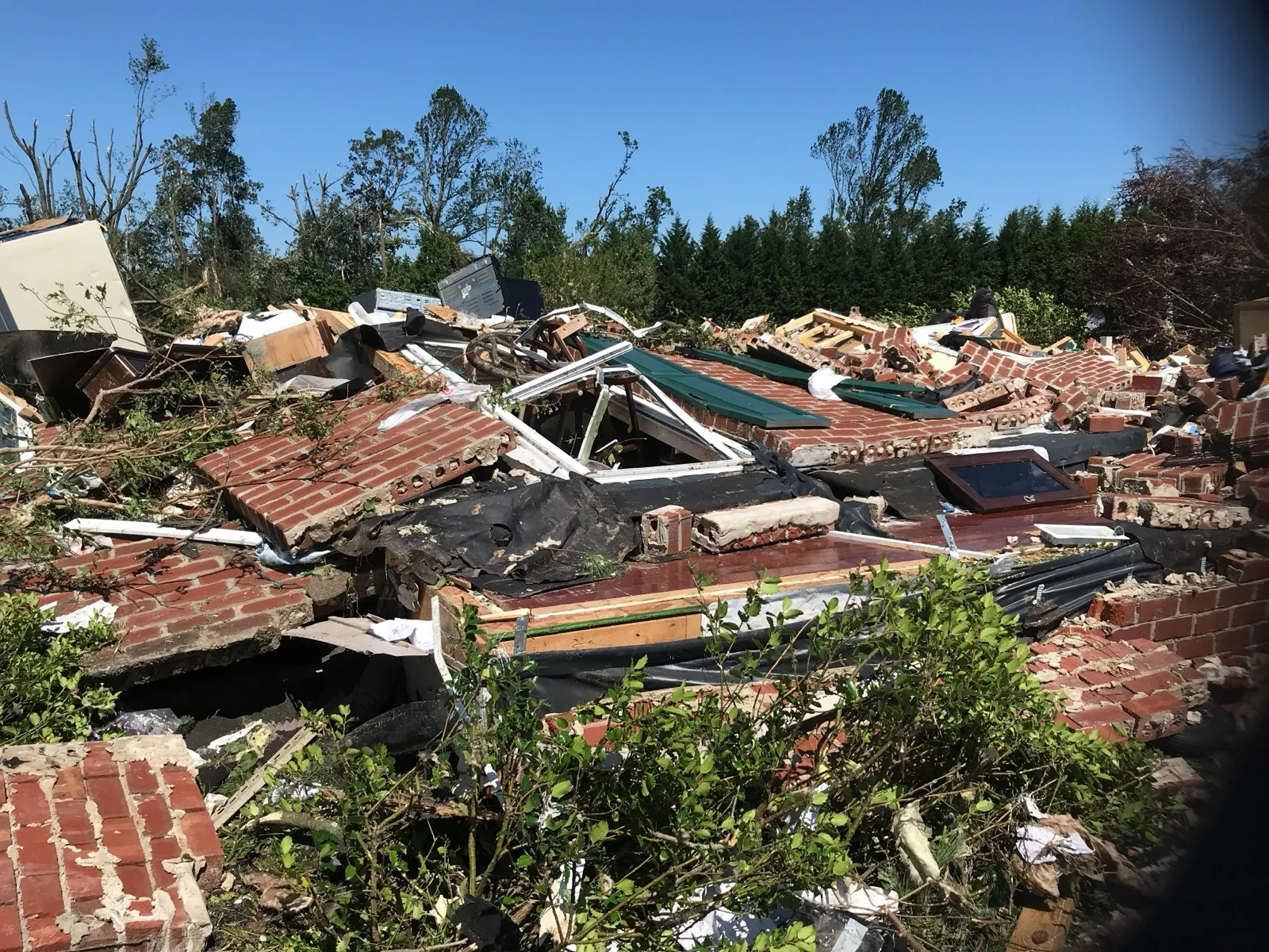
The rainfall totals were staggering. New York City's Central Park shattered a single-hour rainfall record, and the National Weather Service issued its first-ever flash flood emergency for the city, while parts of New Jersey recorded more than 11 inches (280 mm) of rain.2 The storm system also spawned a destructive tornado outbreak, including an EF3 that tore through Mullica Hill, New Jersey, and the flash flooding killed dozens of people across the Northeast, many of them trapped in basement apartments that filled within minutes.2
Legacy
Ida reshaped how the United States thinks about inland flood risk from landfalling hurricanes. Its Louisiana landfall validated post-Katrina investments in levees and pumps (the upgraded New Orleans hurricane-protection system held) even as the storm exposed the fragility of the electrical grid those defenses depend on.2 Farther north, the catastrophic urban flash flooding killed far more people than the wind, prompting cities to rethink stormwater capacity, flash-flood warnings, and the risk that basement apartments carry as rainfall extremes intensify in a warming climate.
Ida illustrates the need to assess surge protection, rainfall drainage, and utility reliability separately. Successful performance of one system does not remove other hazards. The Northeast flooding also showed how dangerous post-tropical remnants can remain.
Sources
-
NOAA National Centers for Environmental Information. U.S. Billion-Dollar Weather and Climate Disasters. https://www.ncei.noaa.gov/access/billions/ ↩
-
Beven, J. L., Hagen, A., & Berg, R. (2022). Tropical Cyclone Report: Hurricane Ida (AL092021). National Hurricane Center. https://www.nhc.noaa.gov/data/tcr/AL092021_Ida.pdf ↩ ↩2 ↩3 ↩4 ↩5 ↩6 ↩7