These small demonstrations illustrate spinning flow, buoyancy, wind and water motion. They do not make a real hurricane. Work with an adult, use plastic containers and comfortably warm—not hot—water, keep spills away from electricity, and let the adult handle pins and staples.
Experiment 1: Hurricane in a Bowl
What You Need
- A large, clear plastic bowl
- Warm water
- Food coloring (any color you like)
- A spoon
Steps
- Fill the bowl about three-quarters full with warm tap water. Room-temperature water works too; your spoon supplies the energy for this experiment.
- Let the water sit still for about 30 seconds so it stops moving.
- Add a few drops of food coloring near the edge. Don't stir yet. Just let the drops sink in.
- Now stir the water in one direction, going counterclockwise (the opposite way a clock's hands turn). Stir steadily, not too fast.
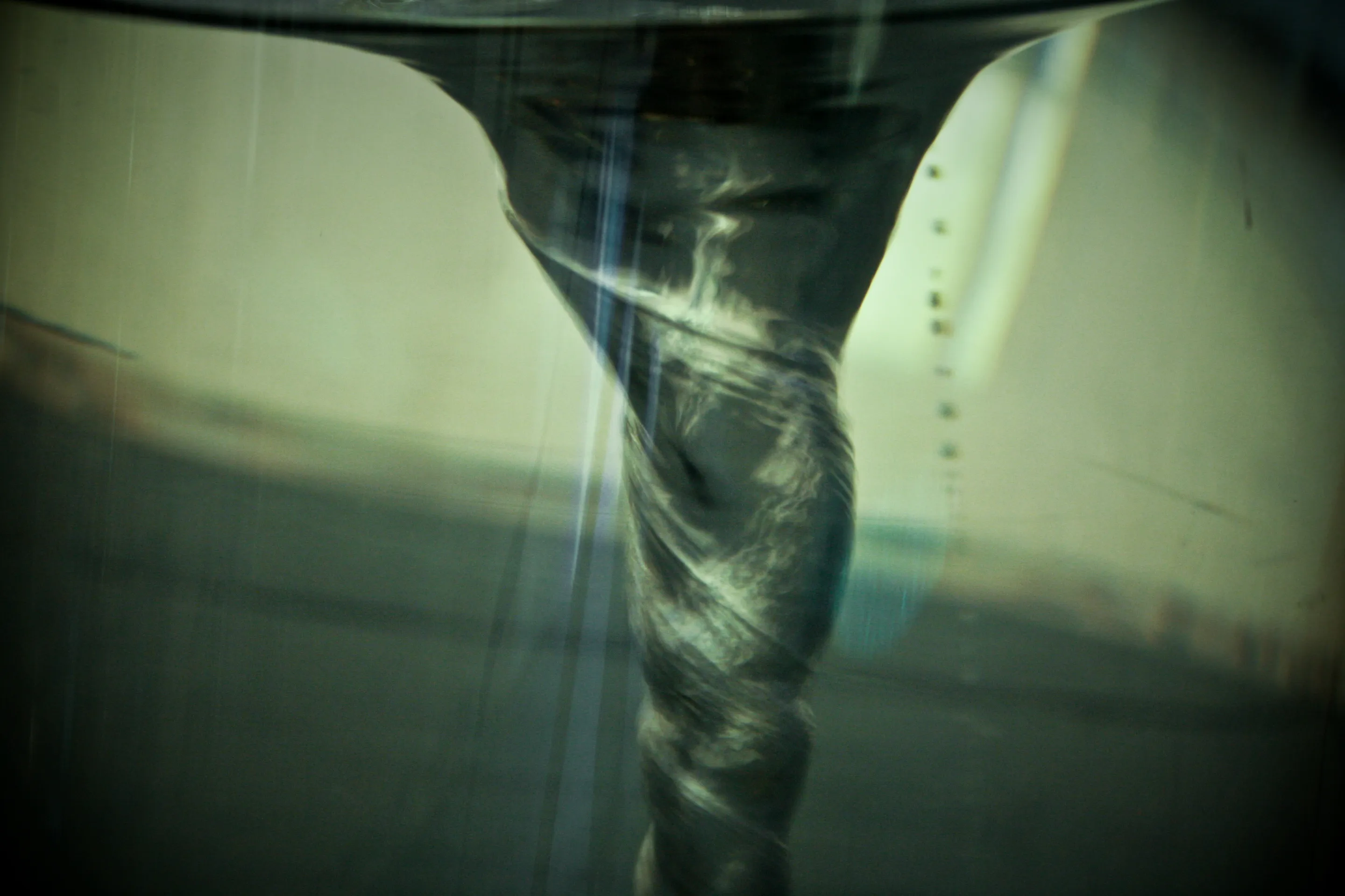
- Watch the food coloring. It should spiral inward toward the center, making a swirl that looks a lot like a hurricane from above.
The Science Behind It
In a real hurricane, warm wet air rises off the ocean. As it rises, the Coriolis effect, which comes from Earth's spin, makes that air start to turn. North of the equator, the turn is counterclockwise, which is exactly why you stirred your water that way.1
Food coloring makes the water’s motion visible. A depression in the spinning water is not the same as a hurricane’s eye, and its center is not necessarily still.
How It Connects to Real Hurricanes
The bowl shows spinning flow. Your spoon sets its direction and supplies energy. Earth’s rotation matters for a hurricane’s large circulation, but does not control the swirl in this small bowl.
Experiment 2: The Warm-Water Engine
What You Need
- A clear plastic container of cool tap water
- A small plastic cup of comfortably warm water
- Food coloring and a plastic dropper
- A tray to catch spills and an adult helper
Steps
- Have an adult check that the warm water is safe to touch. Add a little food coloring to it.
- Let the cool water settle in the larger container.
- Fill the dropper with colored warm water. Gently release a small amount near the bottom of the cool water without stirring.
- Watch for the colored water to rise and mix. Compare with a drop of colored water at the same temperature as the surrounding water.
The Science Behind It
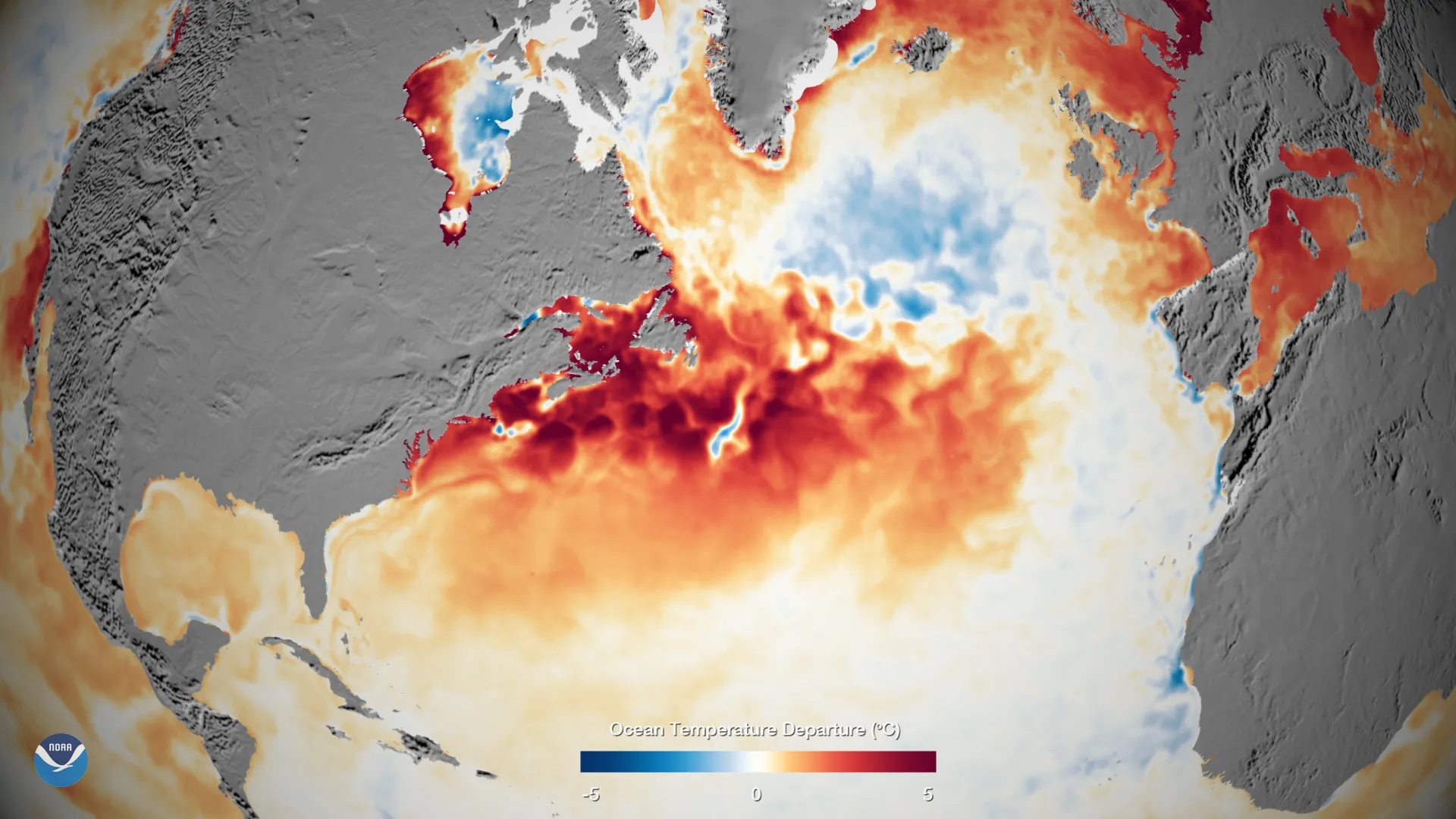
Over this temperature range, warmer water is less dense than cooler water. A gently released warm parcel tends to rise, although mixing and the force of the dropper affect what you see. Putting warm water above cold water would instead make a stable arrangement; it would not demonstrate warm water rising from below.
Warm air can also rise when it is less dense than its surroundings. In hurricane clouds, condensation releases heat. The water experiment illustrates buoyancy but does not reproduce that phase change or the full storm.
Experiment 3: Build a Wind-Speed Meter (Anemometer)
What You Need
- 4 small paper cups (like bathroom cups)
- 2 thin wooden dowels or strong drinking straws
- A push pin
- A pencil with an eraser on the end
- A stapler
- A marker or crayon
Steps
- Color one cup so it stands out from the other three. This is your "counter cup," and it helps you count spins.
- Have an adult attach the four cups to the ends of the two dowels, one cup per end. Make sure they all face the same way around the circle, so they catch the wind.
- Cross the two dowels into a plus sign (+). Have an adult secure the center to the pencil’s eraser with the pin. The dowels should spin freely.
- Check that the cups face the same rotational direction and can turn freely.
- Try it with an adult on a calm or gently breezy day, away from roads and hazards. Never test it in a storm. Hold the pencil upright and count how many times the colored cup comes around in 30 seconds. The faster the wind, the more spins you'll count.
The Science Behind It
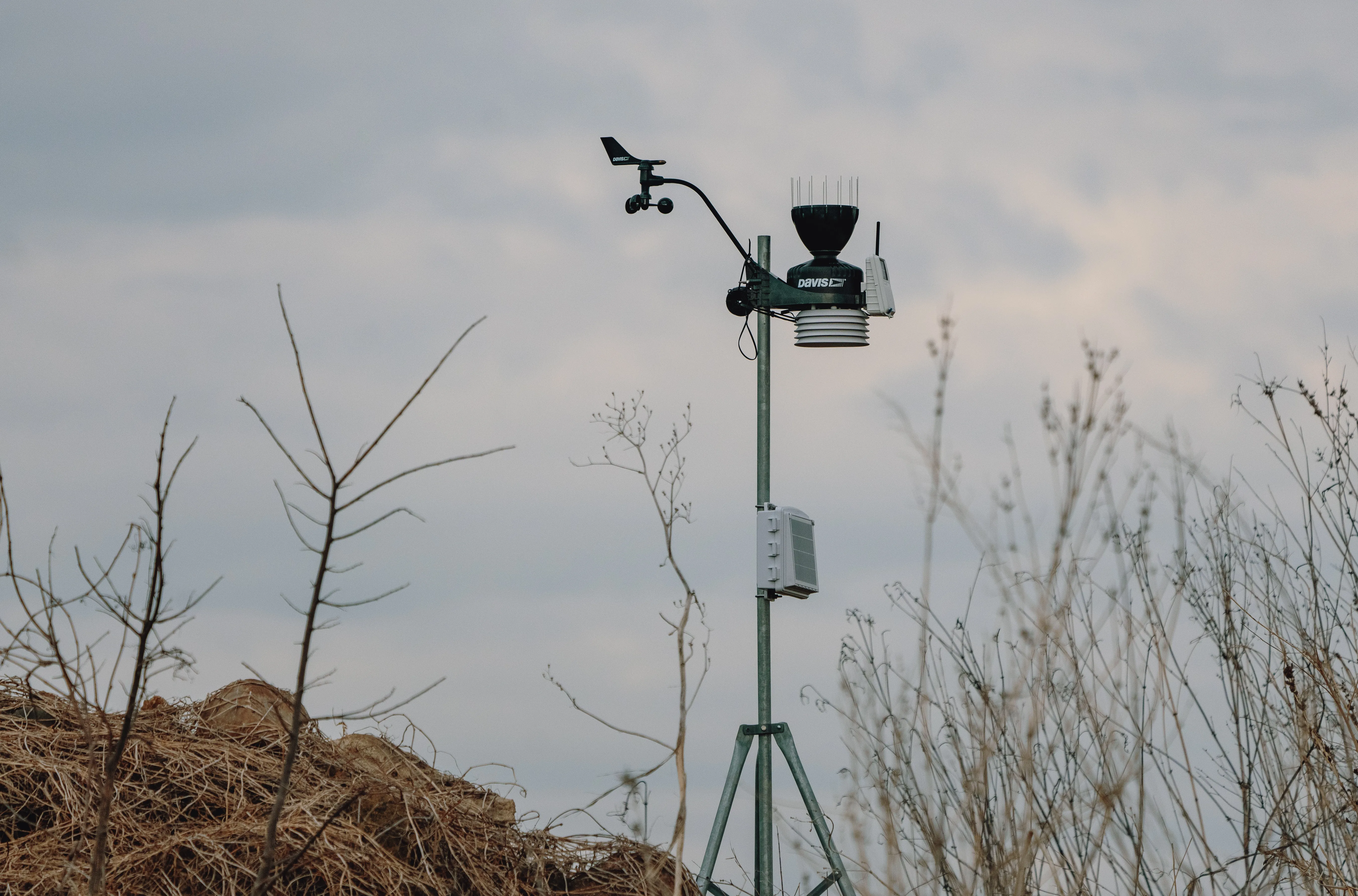
You just built the same basic tool real weather scientists use to measure wind. Professional anemometers are fancier, with electronic sensors, but the idea is identical: faster wind, faster spin.
In a hurricane, the steady wind speed sets the storm's category on the Saffir-Simpson Hurricane Wind Scale:
- Category 1: 74–95 mph (119–153 km/h). Dangerous winds that can damage roofs and snap branches.
- Category 2: 96–110 mph (154–177 km/h). Major roof and tree damage.
- Category 3: 111–129 mph (178–208 km/h). Serious damage to sturdy homes.
- Category 4: 130–156 mph (209–251 km/h). Severe damage, roofs and walls torn away.
- Category 5: 157+ mph (252+ km/h). The strongest storms, able to destroy many buildings.
Here's something even a lot of grown-ups get wrong, though. That category number is only about wind. It says nothing about flooding, and flooding is often the bigger danger. So a "lower" category storm can still be a very serious one. Your next experiment shows why.
Fun Fact: The Hurricane Hunters from NOAA and the U.S. Air Force fly right into hurricanes to measure wind, pressure, and temperature. They drop instrument tubes called dropsondes from the plane, and the tubes fall through the storm sending back data the whole way down. It takes a brave crew to fly into a Category 5.
Experiment 4: Storm Surge in a Pan
What You Need
- A rectangular baking pan (like a 9x13 cake pan)
- Water
- Modeling clay for a gently sloping shore, plus small toy houses or blocks
- Your own gentle breath (no electric fan near water)
Steps
- Have an adult make a low clay slope at one end of the pan, then add shallow water below its top.
- Line up your toy houses or blocks at one end, just above the waterline. This is your coastal town.
- Stand at the opposite end of the pan.
- Blow gently across the water toward the town; do not put your face into the water.
- Watch what happens. Look for ripples moving toward the shore. Your breath may not produce a measurable sustained water-level rise; a ripple washing up the slope is not the same thing as full-scale storm surge.
The Science Behind It
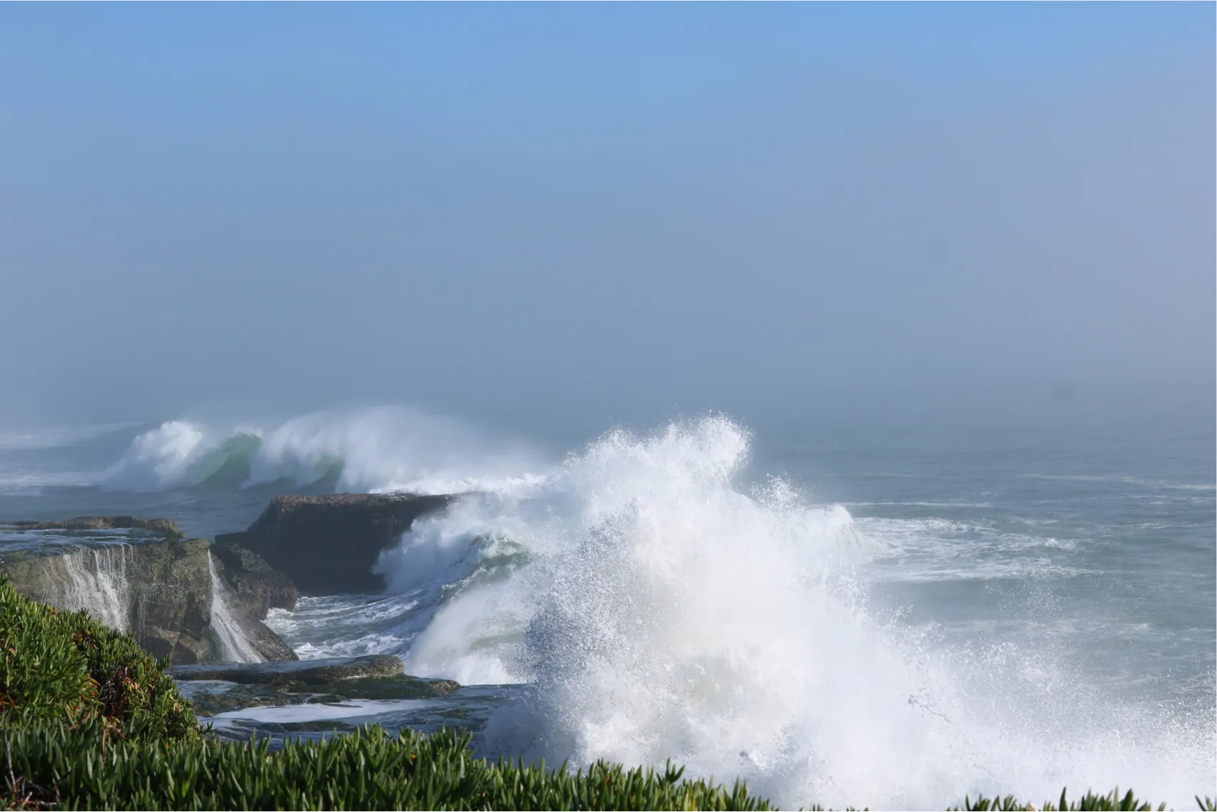
Storm surge is a rise in sea level caused by a hurricane's winds shoving huge amounts of ocean water toward shore. Picture your breath pushing the water in the pan, except a real hurricane does it across hundreds of miles of ocean.
When Hurricane Katrina hit the Gulf Coast in 2005, its storm surge reached over 28 feet (8.5 m) in parts of Mississippi.2 That's taller than a two-story house. Even a 3 to 6 foot (1 to 2 m) surge is enough to be dangerous. The water moves fast and it's incredibly heavy, heavy enough to lift a car or push a house off its foundation.
The pan demonstrates wind acting on water. Real surge also depends on storm size and movement, coastal shape, water depth and pressure. A kitchen activity cannot predict flooding on a real coast.
Putting the Pieces Together
You've done all four experiments. Now let's connect them and see the whole storm.
- Your bowl showed a vortex made by your spoon, not by the Coriolis effect. Earth's rotation bends moving air, so storms turn counterclockwise north of the equator and clockwise south of it. No spin, no hurricane.
- Your warm-water experiment illustrated buoyancy, one part of convection. Warm air rises, cools, lets out heat, and pulls in more warm air, again and again, building the storm.
- Your anemometer compared wind conditions; it needs calibration to report actual wind speed. Wind speed tells us how strong a storm is.
- Your surge pan showed wind handing its energy to water. That's the part of a hurricane that floods the coast, and it's why we prepare so carefully for it.
Real hurricanes combine these processes across a vast area. Laboratory models leave out many important effects, including Earth’s rotation at storm scale and the release of heat when water vapor condenses.
Here's the honest part, and it's the fun part too. These experiments show the pieces one at a time. The real storm is far messier, with the spin, the heat, the wind, and the water all tangled together, and even our best computers still can't capture every bit of it. That's exactly why hurricane science is still an open adventure, and why the next scientist to help figure it out could be you.
Curious how the pros do it for real? See how scientists study hurricanes, or go back to the basics with What Is a Hurricane?.
Sources
-
Hurricane Research Division. Frequently Asked Questions. NOAA AOML. https://www.aoml.noaa.gov/hrd-faq/ ↩
-
National Weather Service. Storm Surge Overview. NOAA. https://www.weather.gov/safety/hurricane-stormsurge ↩