New aircraft, smaller sensors and uncrewed systems are expanding hurricane observations. Some are already collecting data; others remain research concepts. Their value depends on measurements and forecast improvements demonstrated in testing, not on technological novelty alone.
Next-Generation Aircraft
NOAA’s WP-3D Orions, Kermit and Miss Piggy, were built in 1975 and 1976. NOAA awarded a contract in 2024 for two specialized C-130J aircraft to replace them; the announcement projected fully instrumented aircraft joining the fleet in 2030. Procurement and delivery milestones are plans, not evidence that replacement aircraft are already operating.1
Replacement aircraft must support long research missions, substantial instrument payloads and deployment of expendable sensors. The mission requirements extend beyond simply carrying passengers through bad weather.
The Air Force Reserve’s 53rd Weather Reconnaissance Squadron operates ten WC-130J aircraft. Their operational reconnaissance role complements NOAA’s research and surveillance flights.2
NOAA has also contracted for two Gulfstream G550 aircraft to replace the high-altitude G-IV. The G-IV samples the storm’s surroundings; this is a different mission from low-altitude eyewall penetration.3
Unmanned Aerial Systems
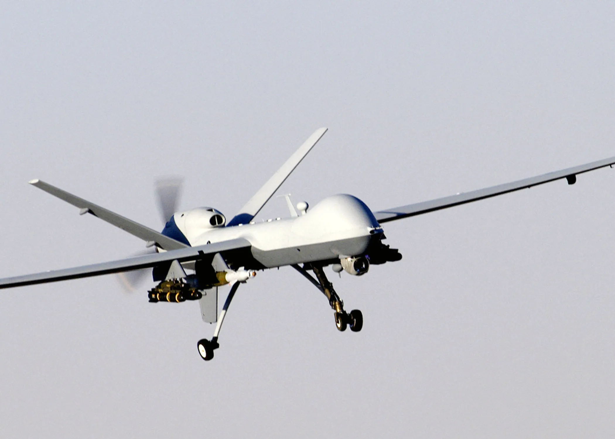
Uncrewed systems can sample hazardous parts of a storm without putting a crew aboard the observing platform. Payload, endurance, communications and survivability still constrain their use.
The Coyote UAS
NOAA's Coyote is a small, expendable uncrewed aircraft weighing about 13 pounds (6 kilograms) with a 5-foot (1.5 m) wingspan. It launches from a sonobuoy tube aboard the WP-3D Orion while the aircraft is flying inside the hurricane, then drops into the boundary layer, the critical zone from the ocean surface to roughly 2,000 feet (610 m), where crewed aircraft can't safely operate because of the turbulence and the nearness of the sea.
The Coyote was first demonstrated in a tropical cyclone during Hurricane Edouard in 2014.4 Since then it's flown in multiple storms, returning unprecedented in-situ measurements of wind, temperature, humidity, and pressure in the lowest levels of the vortex. Those measurements matter because the boundary layer is where the ocean feeds energy to the storm through evaporation, and where the strongest surface winds live, the winds that do the damage at landfall.
ALTIUS-600 has already flown in a hurricane: NOAA deployed it into Ian on September 28, 2022. It sampled the lower storm, demonstrating a capability beyond a proposed future replacement for Coyote.5
NASA Global Hawk
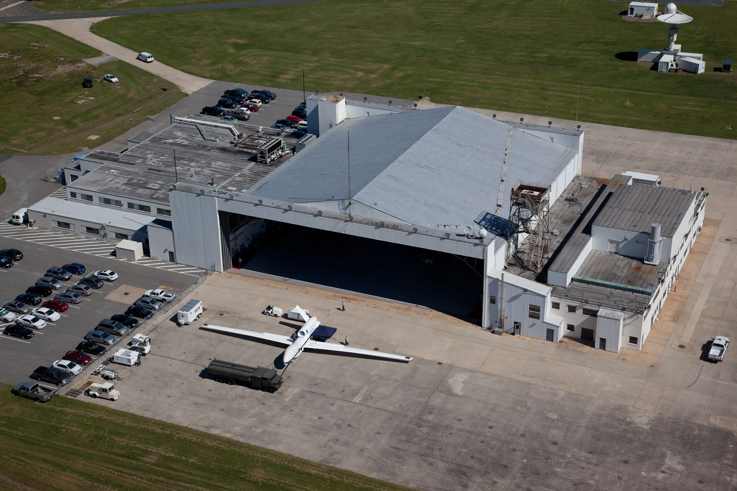
At the far opposite end of the altitude range, NASA's Northrop Grumman RQ-4 Global Hawk can fly above 60,000 feet (18,000 meters) for more than 30 hours at a stretch. It was used heavily in NASA's Hurricane and Severe Storm Sentinel (HS3) campaign from 2012 to 2014, overflying multiple Atlantic storms and dropping sondes from the upper troposphere and lower stratosphere.
HS3, documented by Braun et al. (2016), used the Global Hawk to chase two fundamental questions: what environmental conditions decide whether a disturbance becomes a hurricane, and what controls how fast a hurricane intensifies.6 Flying far above the storm, it delivered measurements of the large-scale environment that no other platform could match for duration and coverage.
Future UAS concepts imagine fleets of autonomous drones working at several altitudes at once, small expendable systems in the boundary layer, medium-altitude platforms inside the storm, and high-altitude long-endurance systems above it, forming a three-dimensional, persistent observing network no combination of crewed aircraft could achieve.
Advanced Sensor Technology
Improved sensors can sharpen temperature, moisture and wind profiles. Humidity is one influence on air–sea energy exchange; ocean temperature, wind and the air–sea moisture difference matter too.
Phased-array radar is a significant step up from the mechanically scanning radars on today's research aircraft. Phased-array systems can scan the storm's precipitation and wind structure volumetrically, far faster than conventional radar, catching features like eyewall mesovortices and rainband convection on time scales of seconds instead of minutes. That speed is exactly what's needed to watch the fast-moving processes behind rapid intensification.
Doppler wind lidar infers air motion from the Doppler shift of light scattered by aerosols. It can complement precipitation radar in clear air, although cloud attenuation and aerosol availability limit coverage.
SFMR retrieval algorithms continue to be evaluated against other wind observations. An algorithm change must demonstrate accuracy across wind and rain conditions before being treated as an operational improvement.
Satellite Constellation Advances
Where aircraft deliver high-resolution data in and near a storm, satellites supply the global context that track forecasting needs, and the coverage for basins where reconnaissance aircraft don't routinely fly. Several recent and planned missions are sharply improving how often, and how well, storms are observed from space.
COSMIC-2
The Constellation Observing System for Meteorology, Ionosphere, and Climate (COSMIC-2), launched in June 2019, is six microsatellites that measure temperature and moisture profiles by GPS radio occultation. By tracking how GPS signals bend passing through the atmosphere, COSMIC-2 returns accurate vertical profiles even through the heavy cloud and rain that degrade other satellite techniques, and profile retrievals require interpretation and do not directly establish surface wind intensity.
TROPICS
NASA's Time-Resolved Observations of Precipitation structure and storm Intensity with a Constellation of Smallsats (TROPICS), launched in 2023, is a constellation of small satellites in low Earth orbit. Its big advantage is revisit time: it can observe a given storm roughly every hour, with revisit times varying by orbit and storm location. That cadence lets forecasters watch a hurricane's precipitation structure, warm-core intensity, and surrounding moisture evolve in near-real time from space.
SWOT and GOES-19
SWOT, launched in December 2022, measures sea-surface height. These observations can help characterize ocean features such as eddies; they do not directly measure subsurface temperature or ocean heat content. Those quantities require additional observations and analysis.
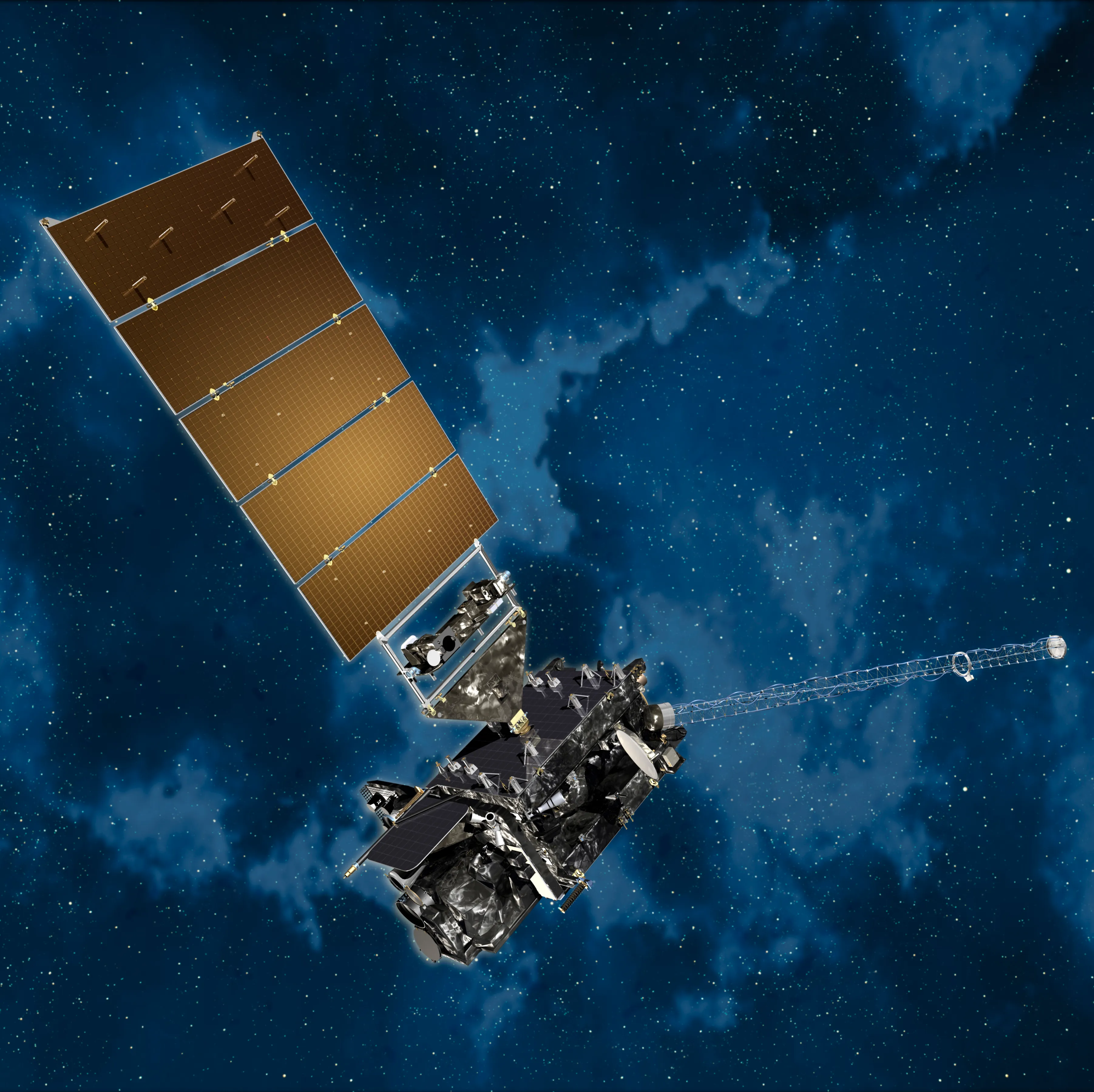
GOES-U launched in June 2024, became GOES-19, and assumed GOES-East operations on April 7, 2025. Its imagery and lightning observations support storm monitoring; lightning changes alone do not reliably determine whether rapid intensification will follow.7
Artificial Intelligence and Machine Learning
AI and machine learning are emerging as powerful ways to pull information out of the enormous data volumes that aircraft, satellites, and models generate. Several applications already show measurable skill gains over traditional methods.8
AI-based rapid-intensification prediction has shown improved skill at flagging which storms are likely to rapidly intensify, defined as a wind-speed jump of 35 mph (56 km/h; 30 kt) or more in 24 hours. Traditional statistical models struggle with RI because it hinges on processes interacting across scales, from large-scale patterns down to eyewall dynamics, and machine learning can find the complex, nonlinear relationships those methods miss.
ML is also being applied to satellite imagery for automated center-fixing. Pinning a hurricane's exact center from satellite imagery takes expert interpretation, and analysts don't always agree, which introduces inconsistency. Algorithms trained on thousands of images can do it with a consistency and speed that supplements the human analysts.
Automated quality control helps identify suspect observations. Flagged measurements still need appropriate checks; automation is not evidence that every retained value is correct.
Adaptive mission planning is a research direction: observations can be targeted to scientific questions and forecast uncertainty. A proposed AI application should not be described as an established operational capability without a documented deployment.
Machine-learning methods and new observing systems address different parts of the forecasting problem. Evaluate each proposed improvement against independent observations and operational performance, including conditions underrepresented in training data.
Improved Numerical Models
NOAA’s Hurricane Analysis and Forecast System (HAFS) provides high-resolution hurricane guidance. Model versions and operational configurations change, so their performance should be judged using the corresponding verification results.9
Finer model grids represent more convective structure explicitly, but still require parameterizations for processes below the grid scale. A grid spacing under 3 km does not resolve every eyewall updraft, turbulent eddy or air–sea exchange process.
Coupled atmosphere–ocean models represent feedbacks between the storm and ocean. Vertical mixing and upwelling can both cool the surface; these are related but different processes. Deep warm water can limit storm-induced cooling.
NHC verification shows long-term improvement in track and intensity forecasts. The amount depends on basin, lead time and period; a single unqualified percentage obscures those differences. Rapid changes in intensity remain challenging.9
The Boundary Layer Problem
The hurricane boundary layer is a major observing and modeling challenge. Its depth varies. It contains frictional inflow and exchanges of heat and moisture with the ocean, but storm intensity also depends on the ocean below and atmosphere above.
And yet it's the least-observed part of the storm. Crewed reconnaissance typically flies at 10,000 feet (about 3,000 meters), far above the boundary layer. Dropsondes profile it on the way down, but each gives only a single snapshot along its fall, and the layer's structure varies so much in space and time that sparse sonde sampling can't capture it.
This is exactly the gap small UAS like the Coyote are built to fill. Flying sustained missions inside the boundary layer, these drones can measure wind, temperature, and humidity continuously at the altitudes where the most important energy exchanges happen. Cione et al. (2020) documented the Coyote observing boundary-layer conditions during Hurricane Maria (2017), resolving structures and gradients that dropsondes alone could not.
Many boundary-layer processes occur below forecast-model grid scale. Sustained observations help test the parameterizations used to represent turbulent transport and surface exchange.
Coordinated aircraft, drones, ocean instruments and satellites can sample complementary parts of a storm. Whether that coverage improves forecasts must be established through observing experiments and verification.
Sources
-
NOAA, next-generation aircraft contract. https://www.omao.noaa.gov/omao/news-media/article/noaa-awards-contract-next-generation-hurricane-hunter-aircraft ↩
-
NHC aircraft reconnaissance. https://www.nhc.noaa.gov/recon.php ↩
-
NOAA, Precision from propellers. https://www.omao.noaa.gov/omao/news-media/article/PrecisionFromPropellers ↩
-
Cione, J. J., et al. (2020). Eye of the storm: observing hurricanes with a small unmanned aircraft system. Bulletin of the American Meteorological Society, 101(2), E186–E205. https://doi.org/10.1175/BAMS-D-19-0169.1 ↩
-
NOAA ALTIUS deployment in Ian. https://www.aoml.noaa.gov/altius-drone-flies-hurricane-ian/ ↩
-
Braun, S. A., et al. (2016). NASA's Hurricane and Severe Storm Sentinel (HS3) investigation. Bulletin of the American Meteorological Society, 97(11), 2085–2102. https://doi.org/10.1175/BAMS-D-15-00186.1 ↩
-
NOAA GOES-R mission status. https://goes-r.noaa.gov/ ↩
-
Ko, M.-C., Chen, X., Kubat, M., & Gopalakrishnan, S. (2023). The development of a consensus machine learning model for hurricane rapid intensification forecasts with Hurricane Weather Research and Forecasting (HWRF) data. Weather and Forecasting, 38(8), 1253–1270. https://doi.org/10.1175/WAF-D-22-0217.1 — see also NOAA AOML, "Paper on using machine learning to improve rapid intensification forecasts released online in Weather and Forecasting," which notes the model "has better forecast skill than other models used by specialists at the National Hurricane Center." https://www.aoml.noaa.gov/hurricane_blog/paper-on-using-machine-learning-to-improve-rapid-intensification-forecasts-released-online-in-weather-and-forecasting/ ↩
-
NOAA National Hurricane Center. (2024). NHC Forecast Verification: Trends in Track Forecast Error. NOAA. https://www.nhc.noaa.gov/verification/verify5.shtml ↩ ↩2