Over eight decades, a handful of reconnaissance missions stand apart, for their place in history, for the extremity of what the crews met, or for the data they brought home. This article looks closely at seven of them, each a turning point in how we observe and understand hurricanes. Together they trace the arc of the whole enterprise, from a single-engine trainer over wartime Texas to expendable drones spiraling through the boundary layer of a major hurricane.
The First Hurricane Flight (1943)
On July 27, 1943, Lieutenant Colonel Joseph B. Duckworth flew a single-engine North American AT-6 Texan trainer straight into a hurricane making landfall near Galveston, Texas. Duckworth was an instrument-flight instructor at Bryan Army Air Field, where he taught mostly British student pilots. By some accounts the flight started as a bet over whether the AT-6 could be flown through the storm on instruments alone, though NOAA notes the exact motivation is uncertain.1
Duckworth made not one penetration but two that day. On the first, he carried navigator Lieutenant Ralph O'Hair. The pair punched through the eyewall, reached the calm center, and returned safely to Bryan Field. Almost at once Duckworth took off again, this time with weather officer Lieutenant William Jones-Burdick in the rear seat taking rough meteorological observations. The flight’s historical importance does not depend on assigning a modern category to the encounter.
Consider what that airplane actually was: a basic trainer with no weather instruments, no radar, and a single 600-horsepower engine. That it survived two eyewall penetrations proved controlled instrument flight through a hurricane was possible at all, and the U.S. Army Air Forces grasped the operational potential immediately. By 1944 the USAAF had organized the first formal hurricane reconnaissance, beginning a continuous tradition that runs to this day.
Hurricane Janet (1955) — A Fatal Mission
On September 26, 1955, a Navy Hurricane Hunter (a P2V-3W Neptune, Bureau Number 131442, call sign "Snowcloud Five") flew into Hurricane Janet over the Caribbean Sea. The aircraft belonged to Navy squadron VW-4, based at NAS Jacksonville, Florida, and Lieutenant Commander Grover B. Windham commanded the crew.
The aircraft and all eleven people aboard disappeared. Without wreckage or a conclusive accident record, a specific structural-failure mechanism cannot be established; Janet’s later peak intensity should not be assigned to the moment of the flight.2
The Janet loss was followed by the disappearance of Swan 38 in Typhoon Bess on October 12, 1974, with six crew members. This history rules out a claim that tropical-cyclone reconnaissance has suffered no loss since 1955.3
Hurricane Hugo (1989) — NOAA's Roughest Ride
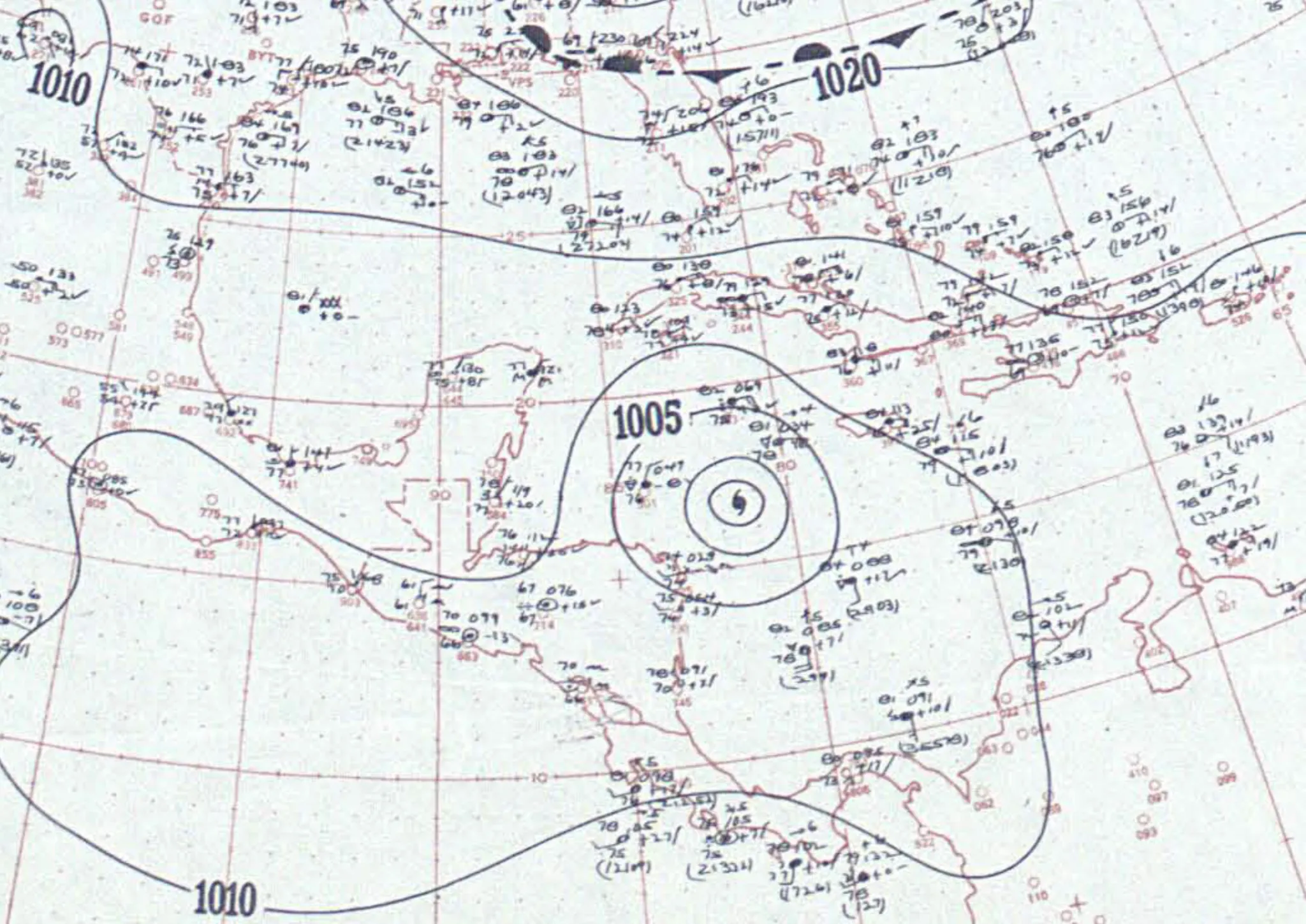
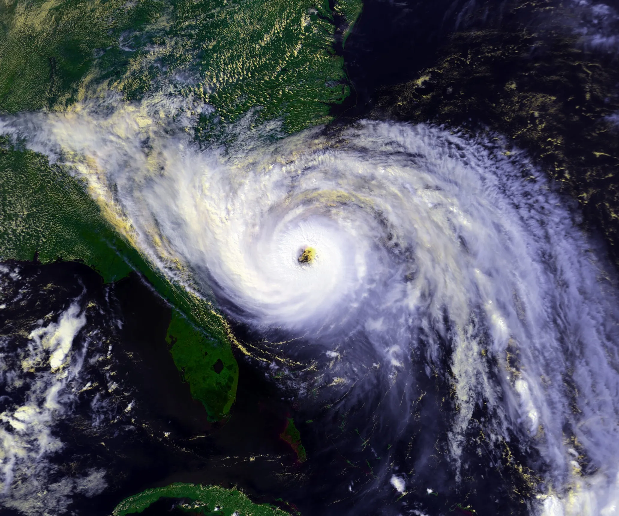
On September 15, 1989, NOAA's WP-3D Orion N42RF, "Kermit," flew into Hurricane Hugo as it churned over the Atlantic east of the Lesser Antilles. What the crew met that day became the most harrowing flight in NOAA's history.
NOAA’s account describes a hazardous low-level penetration, severe turbulence and an engine emergency before the crew recovered in the eye and eventually left the storm. Exact loads, altitude excursions and wind measurements must be attributed to the mission record rather than reconstructed from later storm intensity.4
The crew recovered from the emergency and brought the aircraft home. Hugo later struck the South Carolina coast as a Category 4 hurricane.
The Hugo encounter illustrates the importance of altitude selection, coordination and emergency procedures. It cannot by itself establish the cause of every later change in NOAA or Air Force procedures.
Hurricane Katrina (2005) — A Massive Reconnaissance Effort
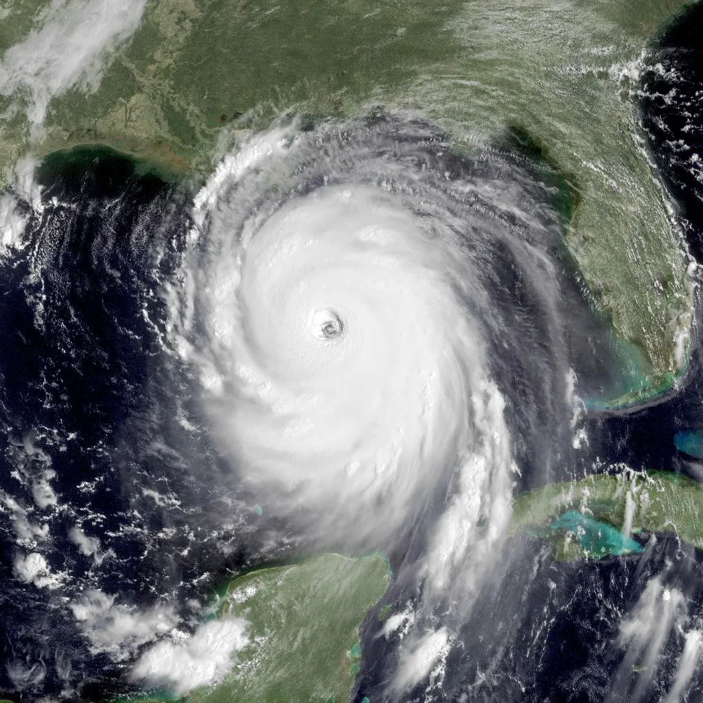
As Hurricane Katrina intensified over the Gulf of Mexico in late August 2005, aircraft from the Air Force Reserve's 53rd WRS and NOAA's Aircraft Operations Center flew continuous reconnaissance around the clock. The data was central to the National Hurricane Center's forecasts and to the evacuation decisions officials made across the Gulf Coast.5
On August 28, 2005, reconnaissance aircraft measured a minimum central pressure of 902 millibars in Katrina's eye, an exceptionally low Atlantic hurricane pressure. NOAA P-3s measured flight-level winds of 178 mph (285 km/h) during their eyewall penetrations, and Katrina was a Category 5 at its Gulf peak.
That data shaped the National Weather Service's messaging directly. Forecasters used the aircraft-measured pressure and winds to issue what many consider the most alarming tropical cyclone bulletin ever written, NWS New Orleans' "DEVASTATING DAMAGE EXPECTED" statement of August 28. That bulletin, built in large part on the reconnaissance numbers, helped drive one of the largest peacetime evacuations in American history. It's the cleanest example there is of a measurement from inside a storm turning into lives saved on the ground.
Hurricane Patricia (2015) — The Strongest Western Hemisphere Hurricane
Patricia’s final NHC best track estimates peak sustained surface winds of 185 kt (215 mph; 345 km/h) and minimum pressure of 872 hPa on October 23, 2015. These are sustained surface-wind estimates, distinct from flight-level measurements.6
The 872-hPa best-track minimum is an analyzed estimate informed by reconnaissance, not a claim that a dropsonde directly read exactly that value. NHC describes an exceptional 24-hour intensification of 105 kt (about 120 mph).6

Patricia’s rapid changes exposed forecasting difficulties and supplied valuable observations for research. The storm weakened sharply before its Mexican landfall; its peak offshore intensity should not be substituted for landfall conditions.
Hurricane Dorian (2019) — NOAA Flies Into a Category 5
Dorian’s final NHC analysis gives a peak of 160 kt (185 mph) sustained surface wind and 910 hPa pressure on September 1, 2019. These best-track values are not automatically the simultaneous flight-level observations of one named aircraft.7
Dorian moved very slowly across the northern Bahamas and stalled near Grand Bahama. It weakened during this period; the islands were not all exposed to Category 5 winds for a uniform 40 hours.7
Aircraft footage shows aspects of eye and eyewall structure. A video alone does not measure sustained surface winds or communicate the distribution of impacts across the islands.
The Transition to Unmanned Platforms
Hurricane reconnaissance has increasingly folded in uncrewed aircraft systems (UAS), which promise sustained in-storm observation without putting a crew at risk.8 Two platforms stand out for proving the concept.
Coyote UAS
The Coyote is a small, expendable uncrewed aircraft weighing about 13 pounds (6 kilograms). Its first hurricane research deployment occurred in Edouard in September 2014. Launched from a WP-3D Orion's sonobuoy tube while the P-3 flies the storm, the Coyote drops into the hurricane boundary layer, the lowest few hundred feet of the atmosphere, where conditions are too dangerous for crewed flight, and streams real-time wind, pressure, temperature, and humidity back to the P-3 for relay to the National Hurricane Center.
NASA Global Hawk
NASA’s Global Hawk flew over Hurricane Earl during GRIP in September 2010, before the HS3 campaigns of 2012–2014. High-altitude endurance enabled long research missions, subject to instrument, communications and weather limitations.9
Together, the Coyote and Global Hawk proved uncrewed observation at both extremes of the atmosphere, the violent boundary layer below and the thin air far above. Crewed aircraft remain essential for operational reconnaissance, but these platforms opened frontiers that used to be impossible, or simply too dangerous to reach. From an AT-6 Texan in 1943 to drones spiraling through the boundary layer, the throughline hasn't changed: someone has to go measure the storm from inside it, and each of these missions bought us a better forecast, and in many cases, lives. Where that story goes next is the future of hurricane aviation.
Sources
-
Griffin-Elliott, T. (2018). Seventy-fifth Anniversary of first hurricane eye penetration. NOAA Atlantic Oceanographic and Meteorological Laboratory (AOML) Hurricane Research Division. https://www.aoml.noaa.gov/hurricane_blog/seventy-fifth-anniversary-of-first-hurricane-eye-penetration/ ↩
-
NOAA Janet mission history. https://www.aoml.noaa.gov/hurricane_blog/60th-anniversary-of-navy-hurricane-hunter-lost-in-storm/ ↩
-
403rd Wing, Honoring Swan 38. https://www.403wg.afrc.af.mil/News/Article-Display/Article/1819689/honoring-swan-38/ ↩
-
NOAA hurricane research history. https://www.aoml.noaa.gov/ftp/hrd/dorst/NHRP.pdf ↩
-
Knabb, R. D., Rhome, J. R., & Brown, D. P. (2005). Tropical Cyclone Report: Hurricane Katrina. NOAA / National Hurricane Center. https://www.nhc.noaa.gov/data/tcr/AL122005_Katrina.pdf ↩
-
NHC final Patricia report. https://www.nhc.noaa.gov/data/tcr/EP202015_Patricia.pdf ↩ ↩2
-
NHC final Dorian report. https://www.nhc.noaa.gov/data/tcr/AL052019_Dorian.pdf ↩ ↩2
-
Cione, J. J., et al. (2020). Eye of the storm: observing hurricanes with a small unmanned aircraft system. Bulletin of the American Meteorological Society, 101(2), E186–E205. https://doi.org/10.1175/BAMS-D-19-0169.1 ↩
-
NASA GRIP mission summary. https://www.jpl.nasa.gov/news/nasa-loosens-grip-on-atlantic-hurricane-season/ ↩