When meteorologists track a system in the tropics, they use a precise language of classification. What starts as a disorganized cluster of storms may progress, stage by defined stage, into a tropical depression, a tropical storm, and ultimately a hurricane. Classification uses wind and structure. Watches and warnings depend on expected hazards and their timing; local officials make evacuation decisions.
Common classifications
These terms describe Atlantic and eastern Pacific systems. Major hurricane is a subset of hurricane, not a separate required life stage:1
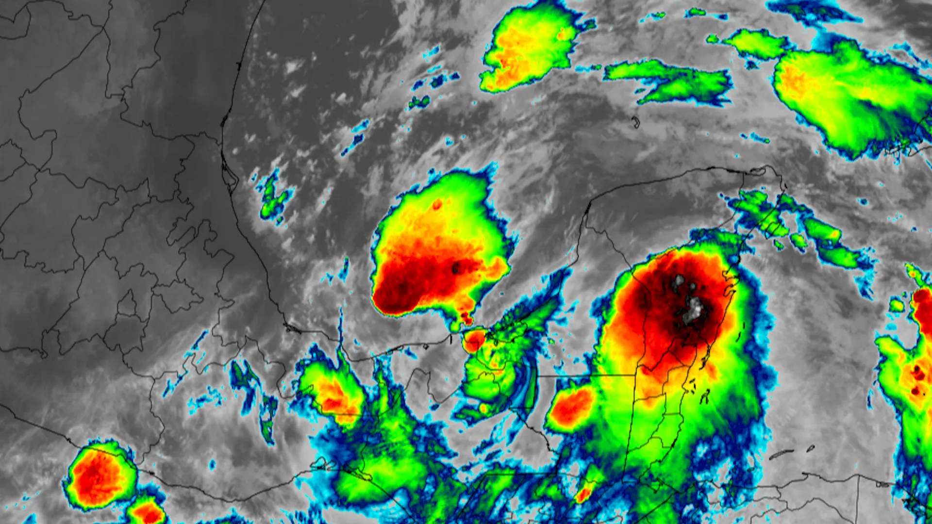
- Tropical disturbance — a loosely organized cluster of thunderstorms with little or no closed surface circulation.
- Tropical depression — a closed surface circulation with maximum sustained winds of 38 mph (61 km/h; 33 kt) or less.
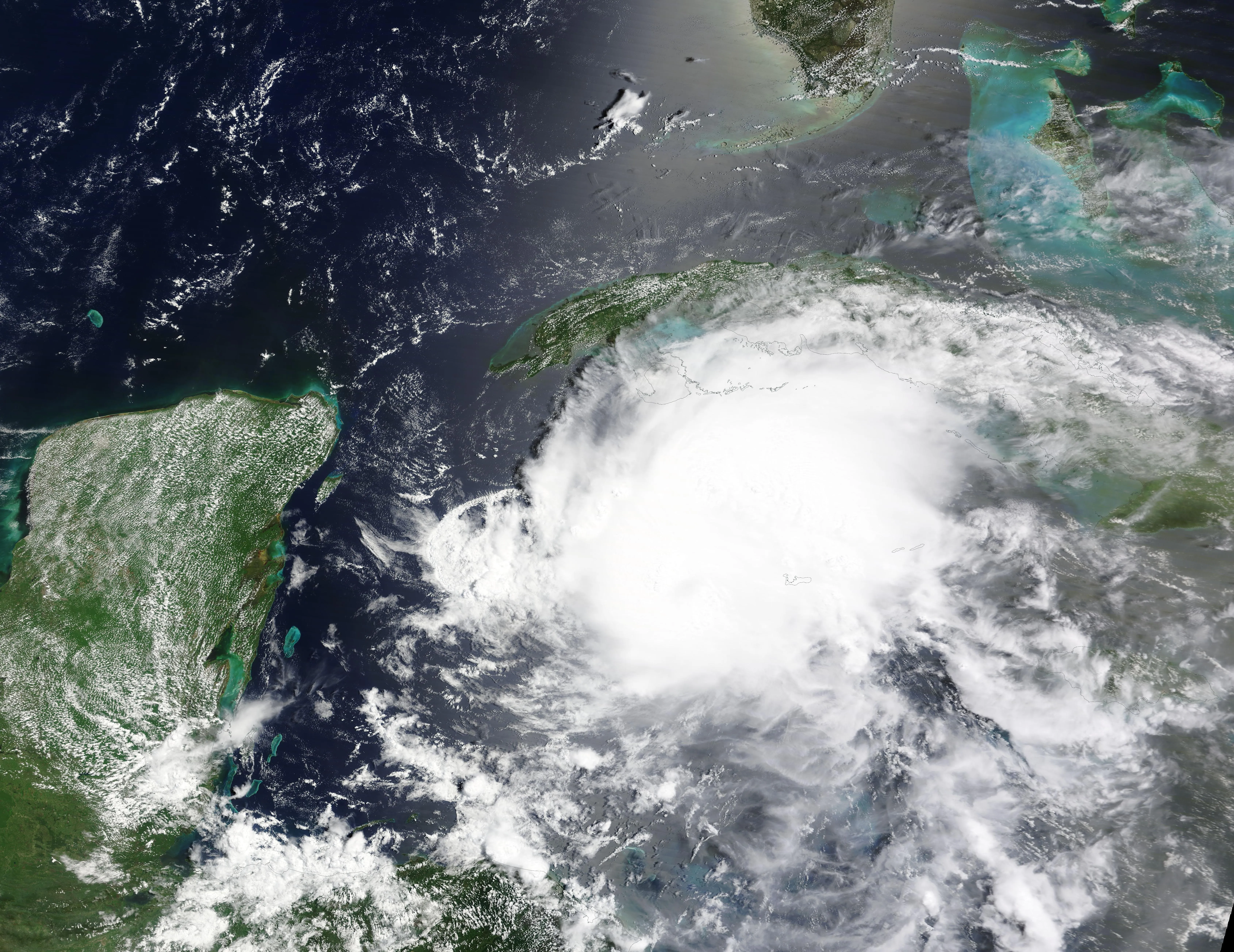
- Tropical storm — sustained winds of 39 to 73 mph (63–117 km/h; 34–63 kt); at this point the system receives a name.
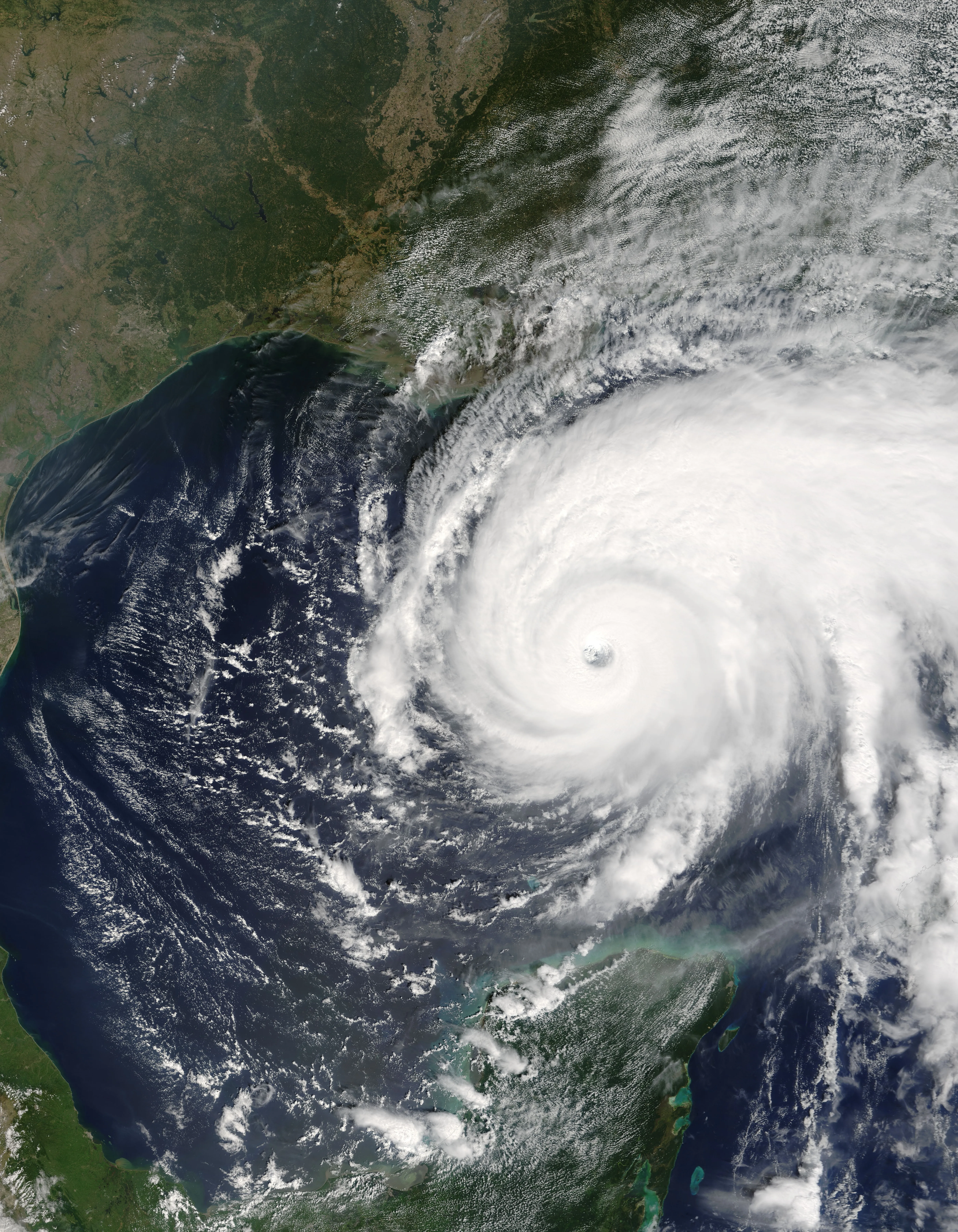
- Hurricane — sustained winds of 74 mph (119 km/h; 64 kt) or greater, with a well-defined circulation and often an eye.
- Major hurricane — a hurricane of Category 3 or higher (winds of 111 mph (179 km/h) or greater), capable of devastating damage.2
Why the Thresholds Matter
These cutoffs are not arbitrary; they map to escalating hazards and trigger official action. When a system reaches tropical-storm strength it is named, sharpening public communication. Hurricane and storm-surge watches and warnings are issued based on expected conditions, and the "major hurricane" threshold (Category 3+) flags storms with the potential for catastrophic wind damage.1
The Saffir-Simpson Scale
Once a storm becomes a hurricane, its strength is described by the Saffir-Simpson Hurricane Wind Scale, which sorts hurricanes into five categories by maximum sustained wind:2
- Category 1: 74–95 mph (119–153 km/h)
- Category 2: 96–110 mph (154–177 km/h)
- Category 3: 111–129 mph (179–208 km/h) (major)
- Category 4: 130–156 mph (209–251 km/h) (major)
- Category 5: 157 mph (252 km/h) and higher (major)
The scale is based on wind alone; it does not capture storm surge, rainfall, or storm size, which are often the deadliest hazards.2
A hurricane category describes maximum sustained wind, not the full set of hazards. Storm size, track, rainfall, and coastal geometry also affect the damage it can cause. Category boundaries divide a continuous range: winds immediately above and below a threshold do not produce an abrupt change in physical conditions.
How Tropical Storms Get Their Names
Naming is itself part of the classification system. The moment a system's sustained winds reach 39 mph (63 km/h) and it becomes a tropical storm, it is assigned a name from a predetermined list. For the Atlantic, the World Meteorological Organization (WMO) maintains six alphabetical lists of names that rotate, so a given year's list is reused six years later.3 The names alternate between traditionally male and female and draw on English, Spanish, and French to reflect the cultures around the Atlantic basin. The letters Q, U, X, Y, and Z are skipped because too few suitable names begin with them.3
Naming is not a marketing exercise; it is a safety tool. A short, distinct name is far easier to communicate than a numbered latitude–longitude designation, and it reduces confusion when more than one storm is active at once.1
When a storm is so deadly or destructive that reusing its name would be insensitive or confusing, the WMO retires that name permanently and replaces it on the list.3 Katrina, Sandy, Harvey, Maria, and Ian are among the dozens of Atlantic names retired in this way. In unusually busy seasons the alphabetical list can be exhausted; after the record 2005 and 2020 seasons used the Greek alphabet as overflow, the WMO discontinued that practice and adopted a supplemental list of names instead.3
Beyond Wind: Related Classifications
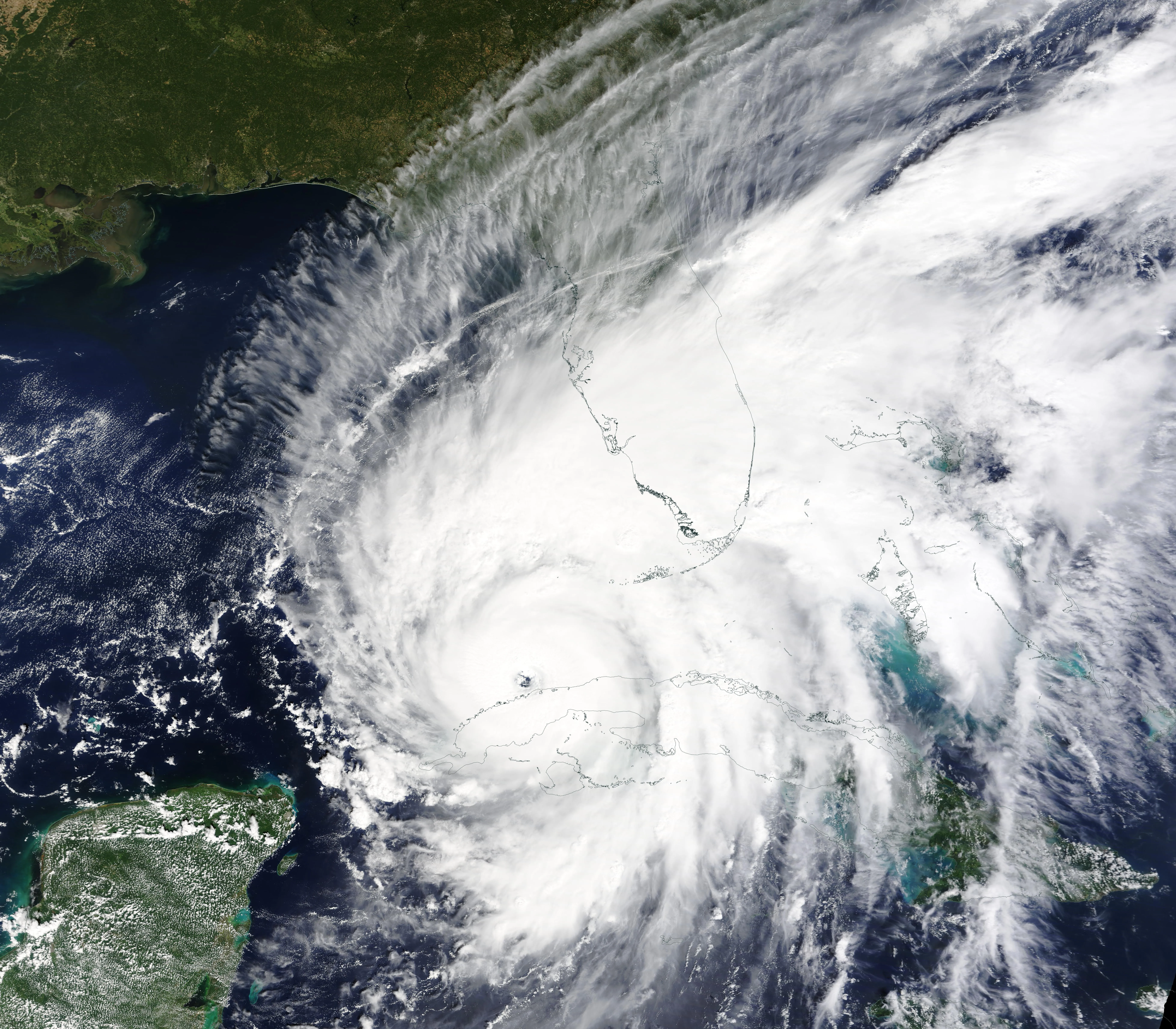
Forecasters also use related terms. A subtropical storm has a mix of tropical and non-tropical characteristics, while a post-tropical or extratropical cyclone has lost its tropical structure but can remain dangerous, as Hurricane Sandy (2012) demonstrated. These labels matter because they affect which advisories are issued and how the public perceives the threat.1
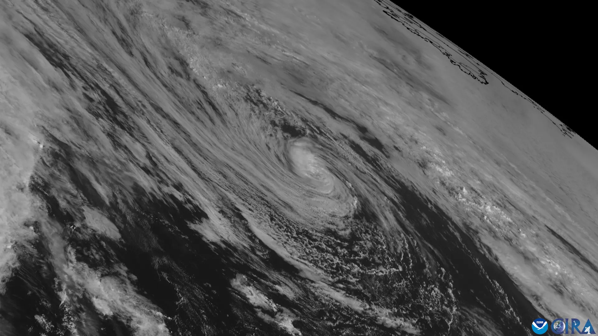
Reading the Labels
The classification system translates a storm's evolving structure into clear categories that guide naming, warnings, and the decisions communities make as a storm approaches.1 The labels are a communication tool built on wind and organization; for the surge and rainfall that cause most hurricane deaths, the category is only a starting point. A good next step is storm surge mechanics, the hazard the scale leaves out.
Sources
-
National Hurricane Center. Glossary of NHC Terms. NOAA. https://www.nhc.noaa.gov/aboutgloss.shtml ↩ ↩2 ↩3 ↩4 ↩5
-
National Weather Service. Saffir-Simpson Hurricane Wind Scale. NOAA. https://www.nhc.noaa.gov/aboutsshws.php ↩ ↩2 ↩3
-
World Meteorological Organization. Tropical Cyclone Naming. https://wmo.int/content/tropical-cyclone-naming ↩ ↩2 ↩3 ↩4