Hurricanes are powerful, but not permanent. A Category 5 storm can collapse into a tropical depression within a day or two once the conditions that sustain it disappear. Understanding what weakens a hurricane matters as much as understanding how it forms, because the timing of a storm's decline often determines how much damage it does at landfall. A weakening hurricane is not a safe hurricane: a storm downgraded at the coast can still deliver its worst flooding hours later and well inland. Storms die through four main mechanisms (loss of warm-water fuel, vertical wind shear, dry-air intrusion, and transformation into an extratropical system), and many experience several at once.
Losing the Fuel: Landfall and Cool Water
A hurricane is fundamentally a heat engine that draws energy from warm ocean water through evaporation.1 Cut off that energy and the engine winds down. This is why landfall is so often fatal to a storm: over land there is no warm sea surface to feed it, and friction with the rough land surface rapidly disrupts the low-level inflow that organizes the eyewall.2 Hurricanes weaken quickly after moving inland, even as they continue to deliver catastrophic rain and wind for many hours.
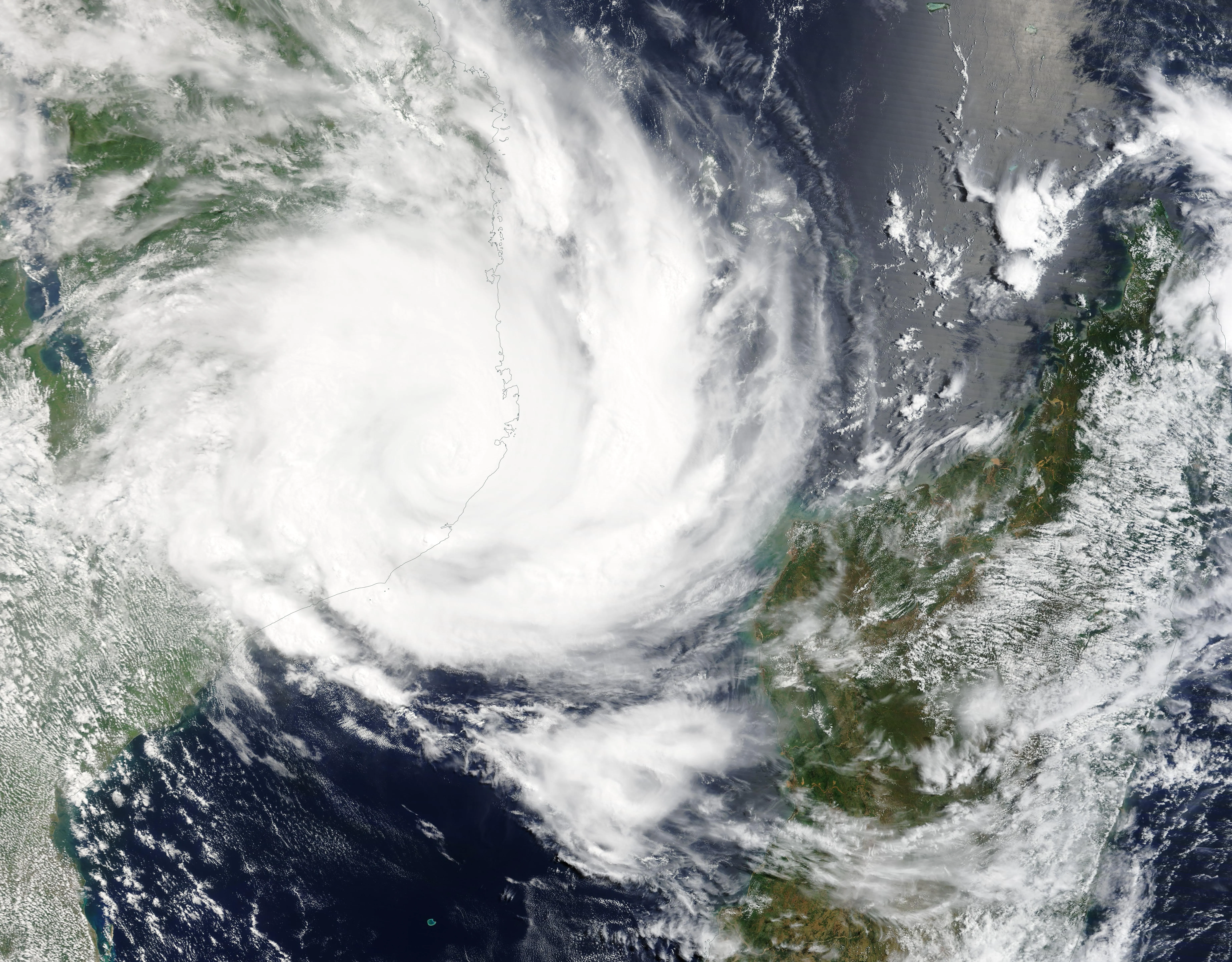
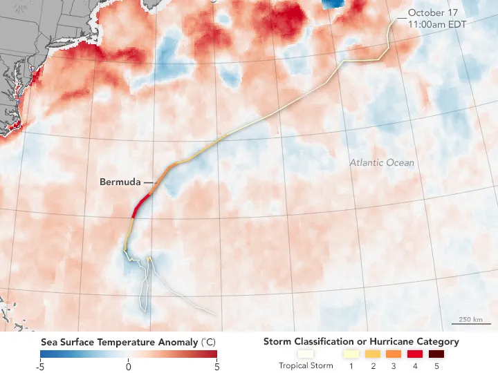
Even over the ocean a storm can starve itself. As a hurricane churns the sea, its winds mix surface water with colder water below; wind-driven upwelling can also bring deeper water upward. If the warm surface layer is shallow, the storm cools its own energy source and may weaken; slow-moving storms over thin warm layers are especially prone to this self-limiting feedback.1 Storms that drift over cooler, higher-latitude water weaken for the same reason.
Ocean cooling is one reason coupled models represent interactions between the storm and the sea. A fixed sea-surface temperature can miss cooling caused by mixing, especially beneath a slow-moving storm. The resulting intensity error can also affect estimates of storm surge. Predicting the timing and rate of weakening remains difficult.
Wind Shear Tears the Storm Apart
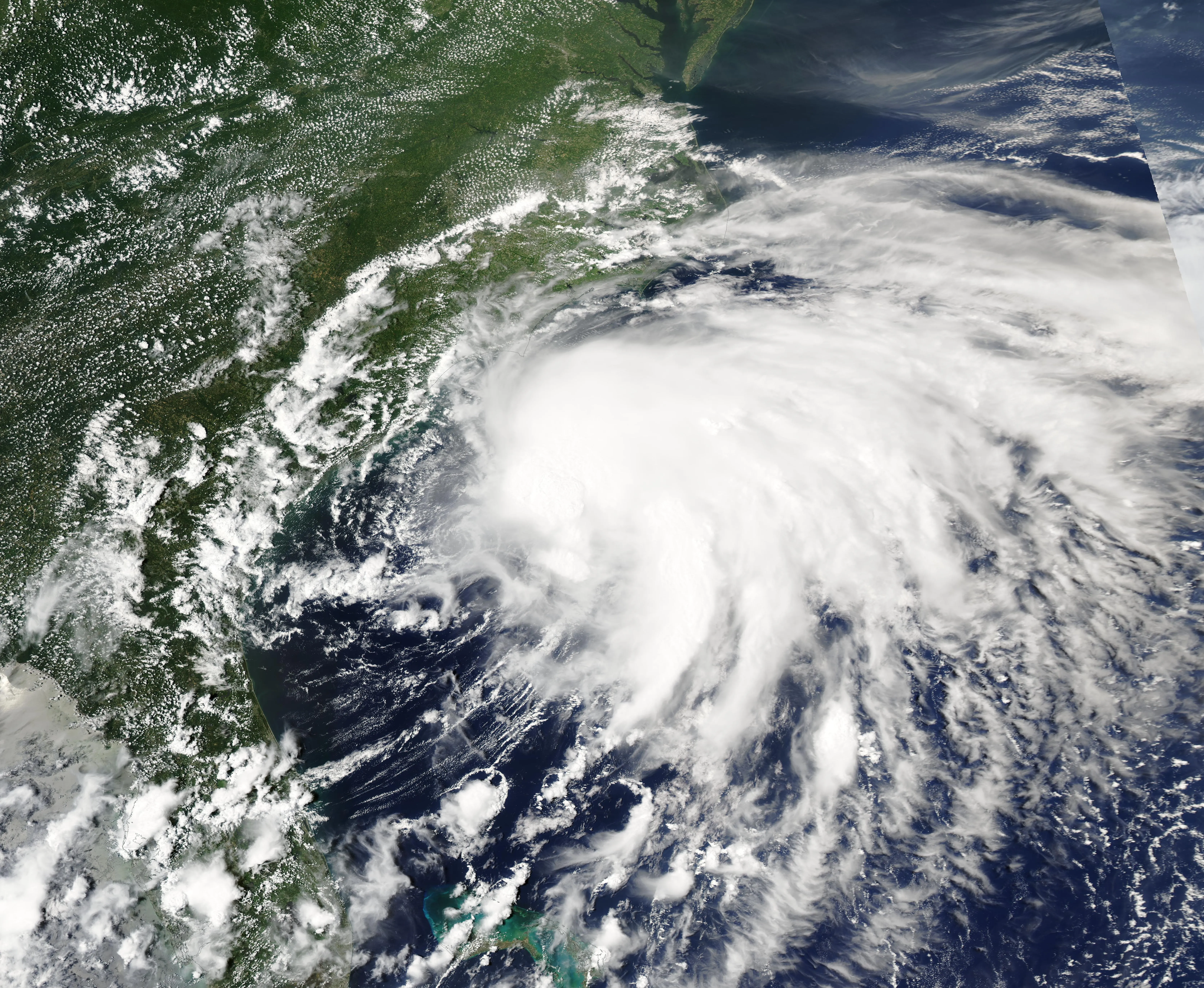
Vertical wind shear, a change in wind speed or direction with height, is one of the most effective hurricane killers.2 A healthy hurricane is a vertically stacked column; strong shear tilts that column and displaces the eyewall thunderstorms away from the low-level center, breaking the feedback between heat release and circulation. Shear also ventilates dry air into the core. Many promising storms unravel simply because they move into a sheared environment, such as the one created by the subtropical jet stream.
Dry Air Intrusion
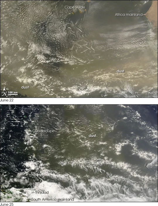
Hurricanes need deep, moist air to sustain their convection. When dry air is drawn into the circulation (for example from the Saharan Air Layer, a mass of dry, dusty air that streams off North Africa each summer), it suppresses thunderstorm development and promotes downdrafts that disrupt the core.2 A storm wrapped in dry air loses the towering convection that powers it, and can weaken even over warm water under low shear.
Extratropical Transition
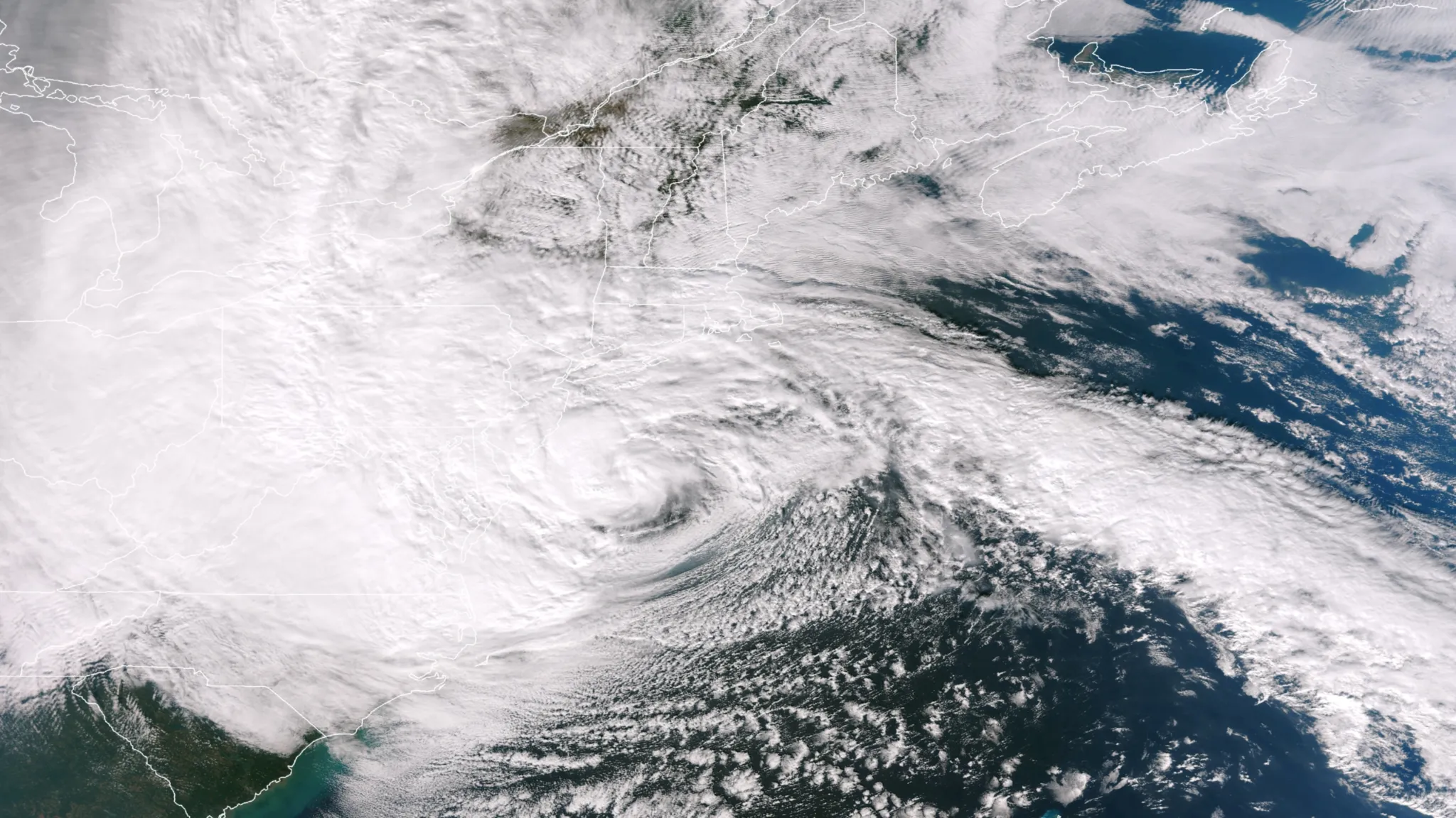
Not every hurricane simply dissipates; some transform. As a tropical cyclone moves into the mid-latitudes, it can undergo extratropical transition, losing its warm core and merging with frontal weather systems to become an extratropical cyclone.3 Such storms can actually re-intensify and expand, spreading damaging winds and heavy rain over a far larger area even as they shed their tropical character; Hurricane Sandy (2012) is a well-known example. Extratropical transition is a major forecast challenge because the storm's structure, size, and hazards all change rapidly during the conversion.3
Sources
-
Emanuel, K. (2005). Divine Wind: The History and Science of Hurricanes. Oxford University Press. https://academic.oup.com/book/54547 ↩ ↩2
-
Hurricane Research Division. Frequently Asked Questions. NOAA Atlantic Oceanographic and Meteorological Laboratory. https://www.aoml.noaa.gov/hrd-faq/ ↩ ↩2 ↩3
-
Jones, S. C., et al. (2003). The extratropical transition of tropical cyclones: forecast challenges, current understanding, and future directions. Weather and Forecasting, 18(6), 1052–1092. https://doi.org/10.1175/1520-0434(2003)018%3C1052:TETOTC%3E2.0.CO;2 ↩ ↩2