The short answer is that hurricanes, typhoons, and cyclones are the same weather phenomenon, a tropical cyclone, called by different names depending on where it forms. A storm with identical structure and strength would be a "hurricane" off Florida, a "typhoon" near the Philippines, and simply a "cyclone" near India or Australia.
One Storm, Three Names
Meteorologists use tropical cyclone as the generic, worldwide term for a warm-core, low-pressure system with organized thunderstorms and a closed surface circulation.1 Regional terminology and intensity thresholds differ; 74 mph (119 km/h) is the hurricane threshold used by NHC, not a universal threshold for the word cyclone:1
- Hurricane — in the North Atlantic and the eastern and central North Pacific.
- Typhoon — in the western North Pacific.
- Tropical cyclone — the broader term used in the Indian Ocean and South Pacific, including the Australian region. Local categories and names such as cyclonic storm have their own thresholds.2
The names are conventions of geography and language, not differences in the storms themselves. The idea that a "typhoon" is a different or fiercer beast than a "hurricane" is one of the most common misunderstandings in tropical meteorology. It is the same storm; only the longitude changed.
The Same Physics Everywhere
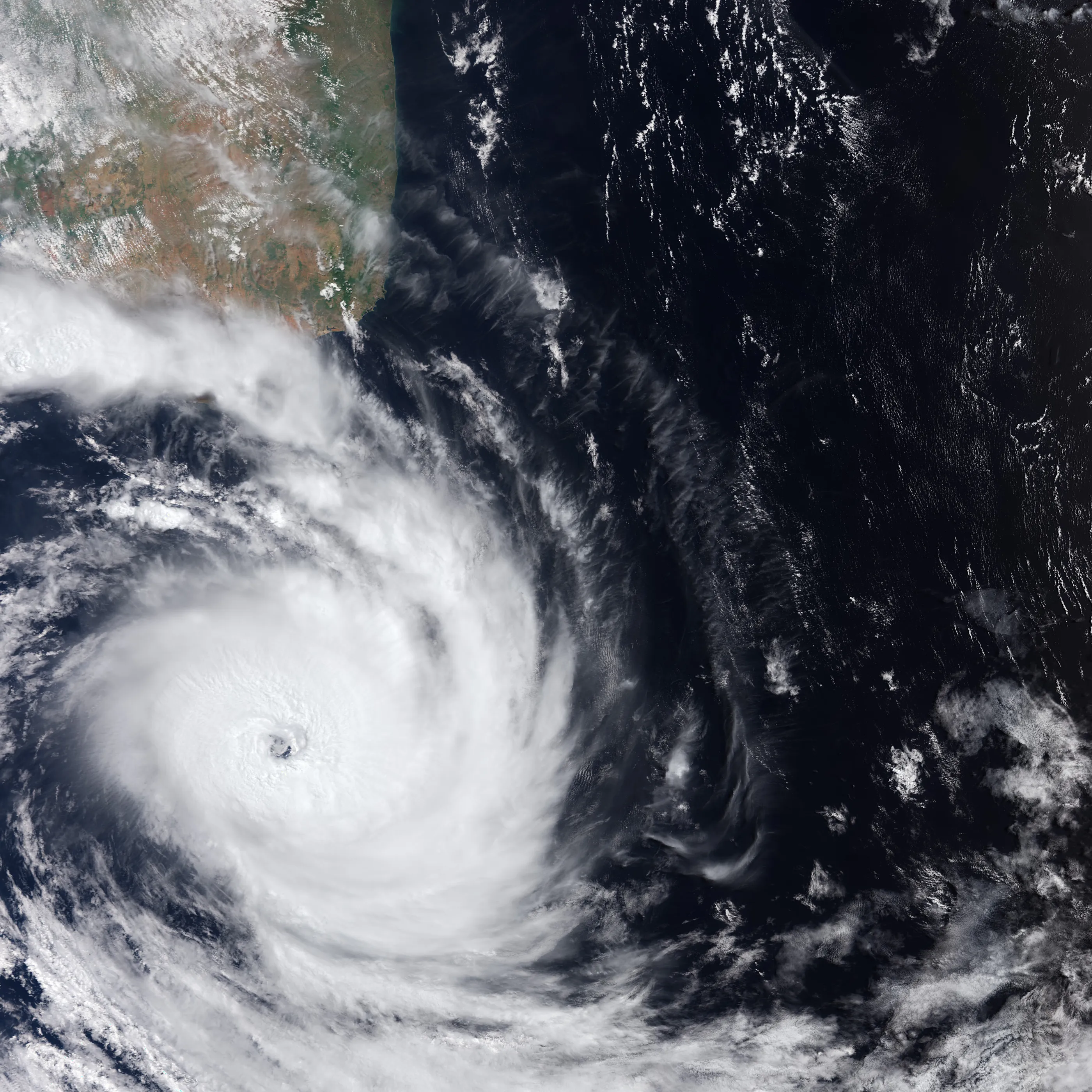
Regardless of the label, tropical cyclones share the same basic formation processes: warm ocean water (often around 80°F, or 26.5°C, or warmer) evaporates, the moist air rises and condenses into towering thunderstorms, latent heat lowers the central pressure, and the Coriolis effect organizes the inflow into a spin, counterclockwise in the Northern Hemisphere and clockwise in the Southern.2 Organized rainbands and, in many stronger systems, an eye and eyewall are common features; not every tropical cyclone has an eye.
A Subtle Difference: How Winds Are Measured
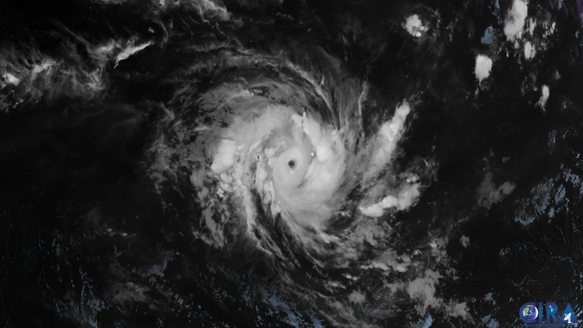
One genuine difference lies not in the storms but in how their winds are reported. The U.S. National Hurricane Center reports maximum sustained winds averaged over 1 minute, while most other national agencies, following World Meteorological Organization guidance, use a 10-minute average, which yields a somewhat lower number for the same storm.3 This is why intensity figures for the same system can differ between agencies and why cross-basin comparisons require care.
Wind averaging periods matter when comparing storms across basins. A 10-minute average and a 1-minute average describe different measurements. Identify the averaging convention before comparing reported wind speeds; any conversion should state its method and uncertainty.
Different Scales, Same Danger
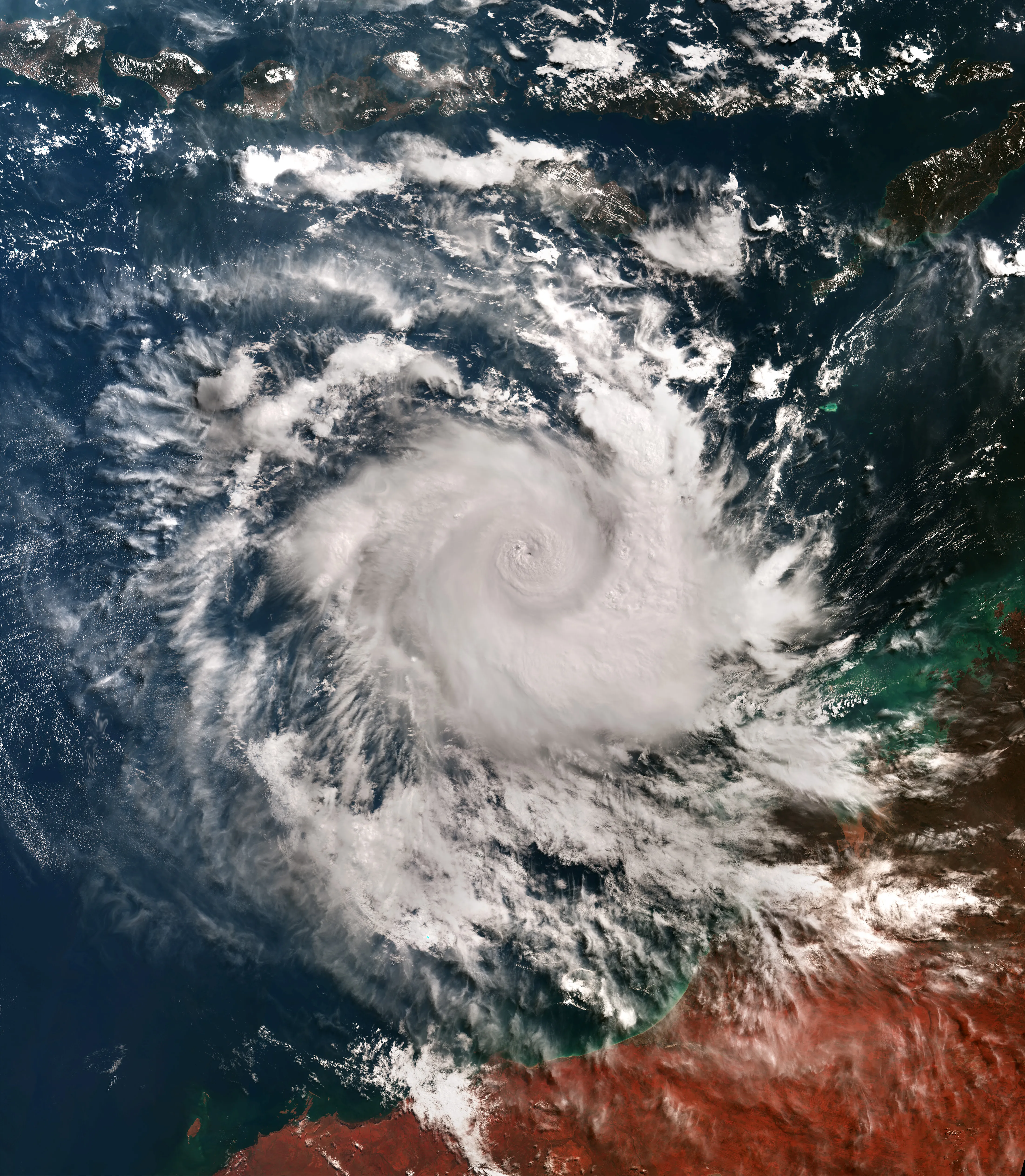
Each region also uses its own intensity scale. The Atlantic and eastern Pacific use the five-category Saffir–Simpson Hurricane Wind Scale; some western Pacific forecasting agencies use a "super typhoon" designation for the most intense systems; and Australia and the North Indian Ocean use their own category systems.2 The scales differ in detail, but all describe the same underlying hazard.
Which Basin Is the Most Active
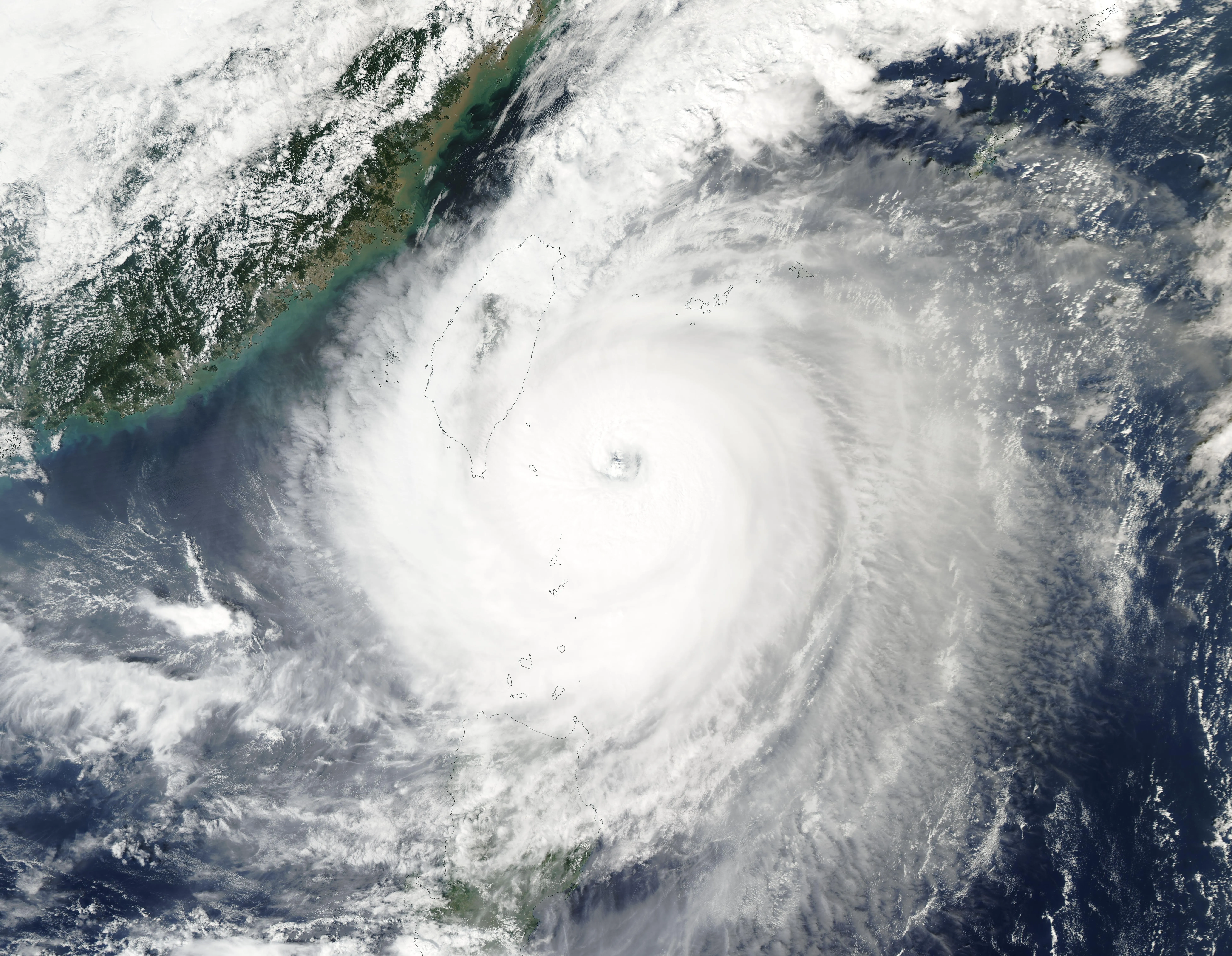
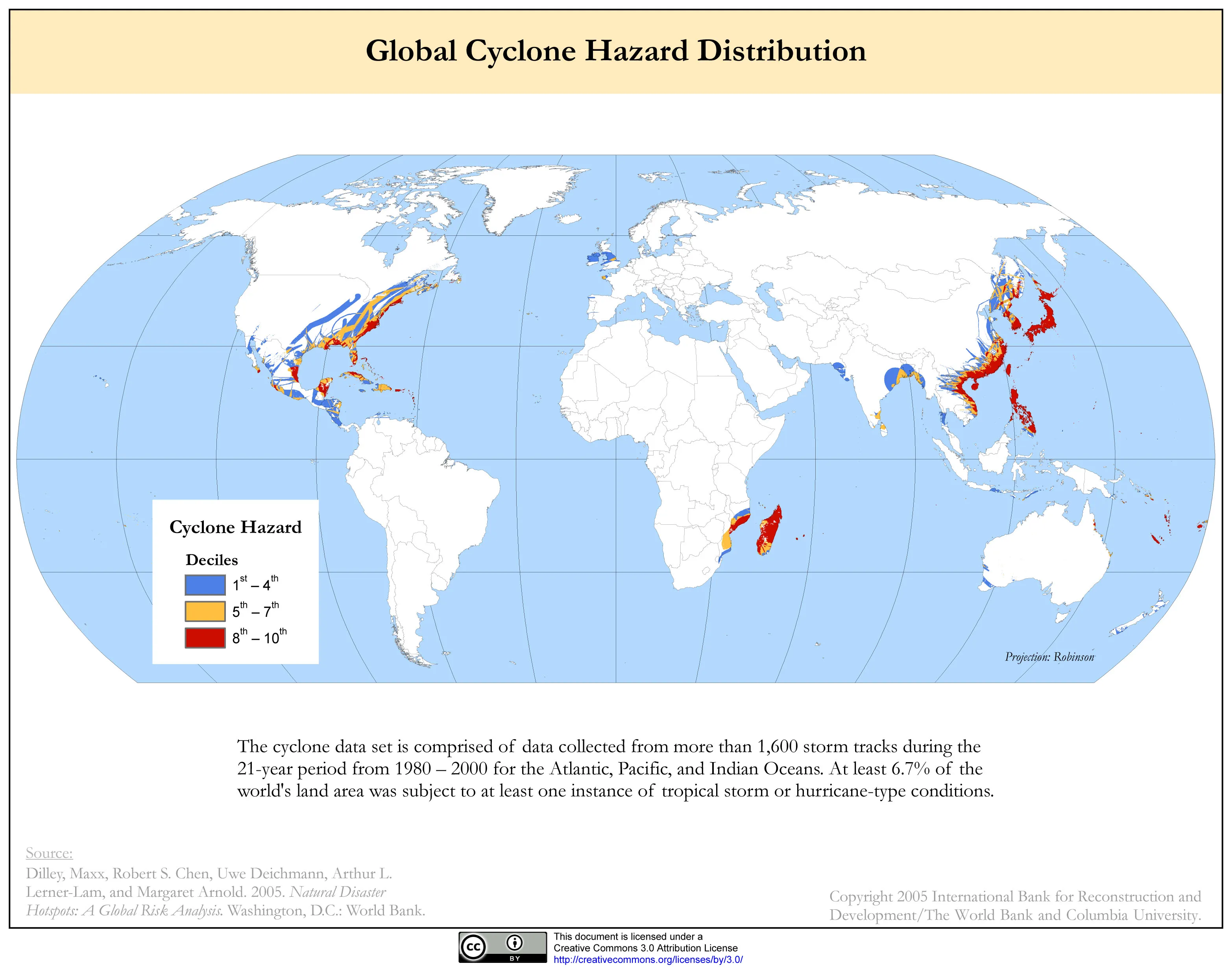
The western North Pacific is the most active tropical cyclone basin on Earth, typically producing more named storms, and more intense ones, each year than any other, which is why "typhoon" is associated with some of the strongest storms ever recorded.2 The Atlantic, by contrast, is far more variable from year to year, strongly influenced by cycles such as El Niño and the Atlantic Multidecadal Oscillation.
Claims about the "strongest storm ever recorded" deserve caution for the same reason. With different averaging periods, intensity scales, and observing histories across the basins, cross-basin records are not strictly comparable, and a headline figure from one basin may not mean what it appears to mean next to another.
Sources
-
National Hurricane Center. Glossary of NHC Terms. NOAA. https://www.nhc.noaa.gov/aboutgloss.shtml ↩ ↩2
-
Hurricane Research Division. Frequently Asked Questions. NOAA Atlantic Oceanographic and Meteorological Laboratory. https://www.aoml.noaa.gov/hrd-faq/ ↩ ↩2 ↩3 ↩4
-
World Meteorological Organization. Tropical Cyclone Programme. https://wmo.int/topics/tropical-cyclone ↩