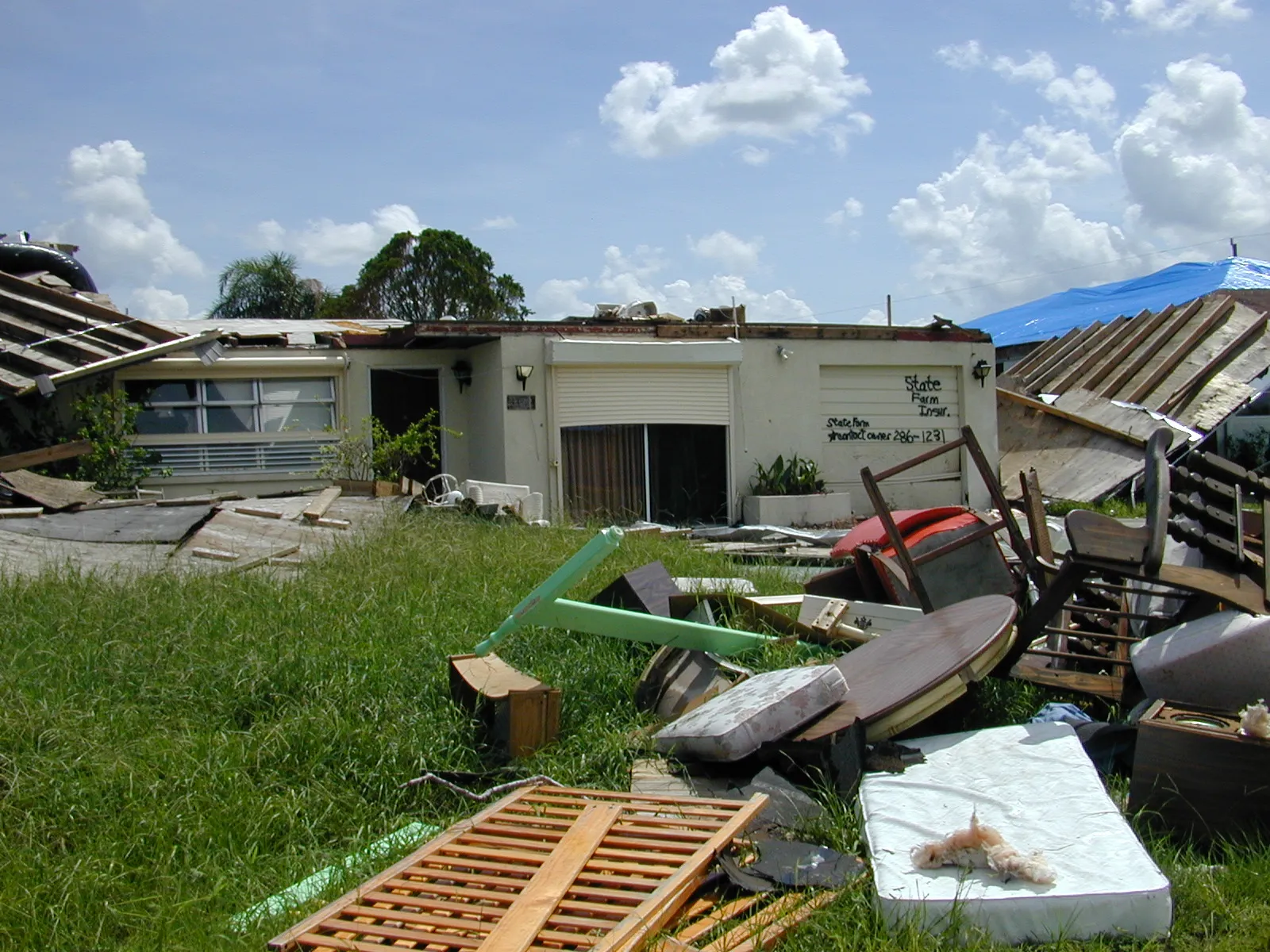
Hurricane Charley was a small but ferocious Category 4 that struck southwest Florida in August 2004, delivering a hard lesson about forecast uncertainty when it made a sharp, late track shift away from the Tampa Bay area many had expected it to hit.
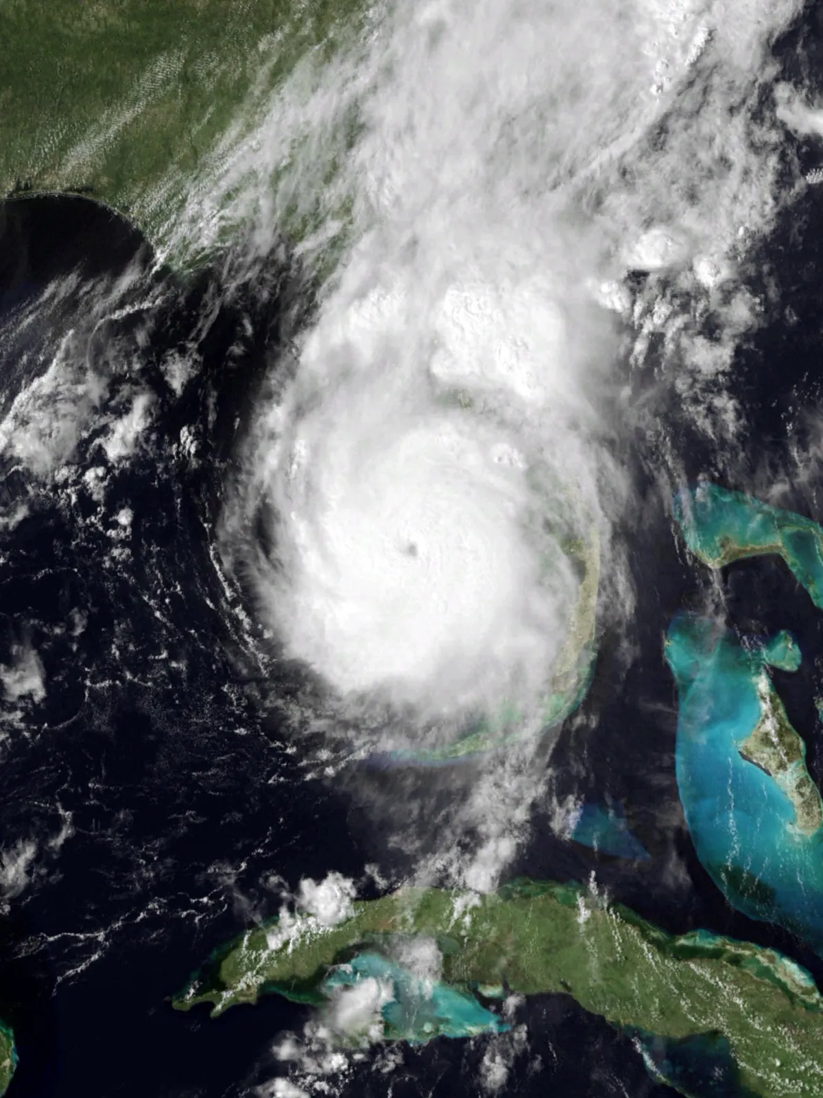
Meteorological History
Charley formed in the Caribbean in early August 2004 and intensified rapidly as it approached Florida. It made landfall on Cayo Costa, on Florida’s southwest coast, before crossing Punta Gorda, on August 13, 2004, as a Category 4 hurricane with maximum sustained winds of 150 mph (240 km/h), the strongest hurricane to strike the United States since Andrew in 1992.1
Charley strengthened rapidly on the day of its Florida landfall, reaching an estimated 130 knots (150 mph). NHC reported four direct deaths in Cuba and one in Jamaica before the U.S. impacts.1
A Compact, Intense Core
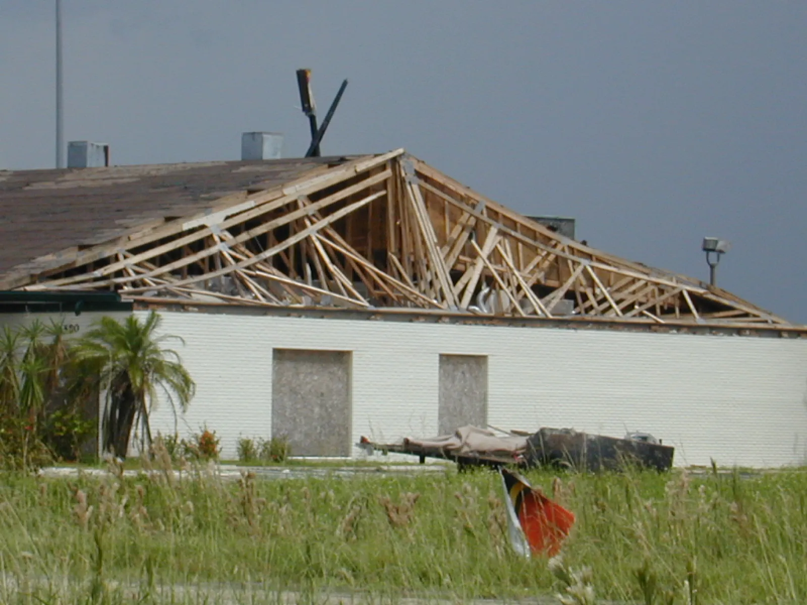
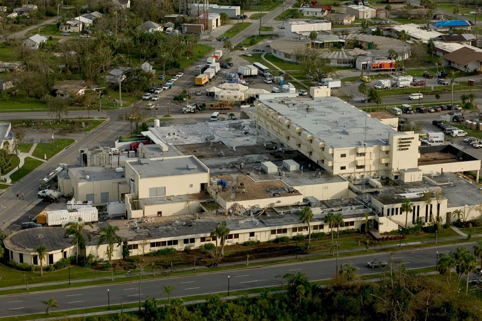
Charley was remarkably small. Its eye was only about five nautical miles across, and its most destructive winds were confined to a narrow swath roughly 10 miles (16 km) wide along the path of the eyewall.1 That compactness concentrated catastrophic damage on Punta Gorda, Port Charlotte, and surrounding Charlotte County, even as nearby areas were comparatively spared.
A Forecast Lesson
In the hours before landfall, Charley turned and accelerated, coming ashore well south of the Tampa Bay area that earlier forecasts had emphasized. The shift, though within the forecast cone, caught many residents off guard and became a widely studied case in hurricane risk communication, illustrating why preparation must follow local hazard forecasts and warnings, including outside the cone.1 The National Hurricane Center issued a special advisory only about two hours before landfall to flag the more southerly track, leaving little time for last-minute preparations across Charlotte County.1
Charley illustrates why the cone’s center line should not be treated as an exact landfall prediction. The cone depicts uncertainty in the center’s track; hazardous conditions can extend beyond it.
Toll
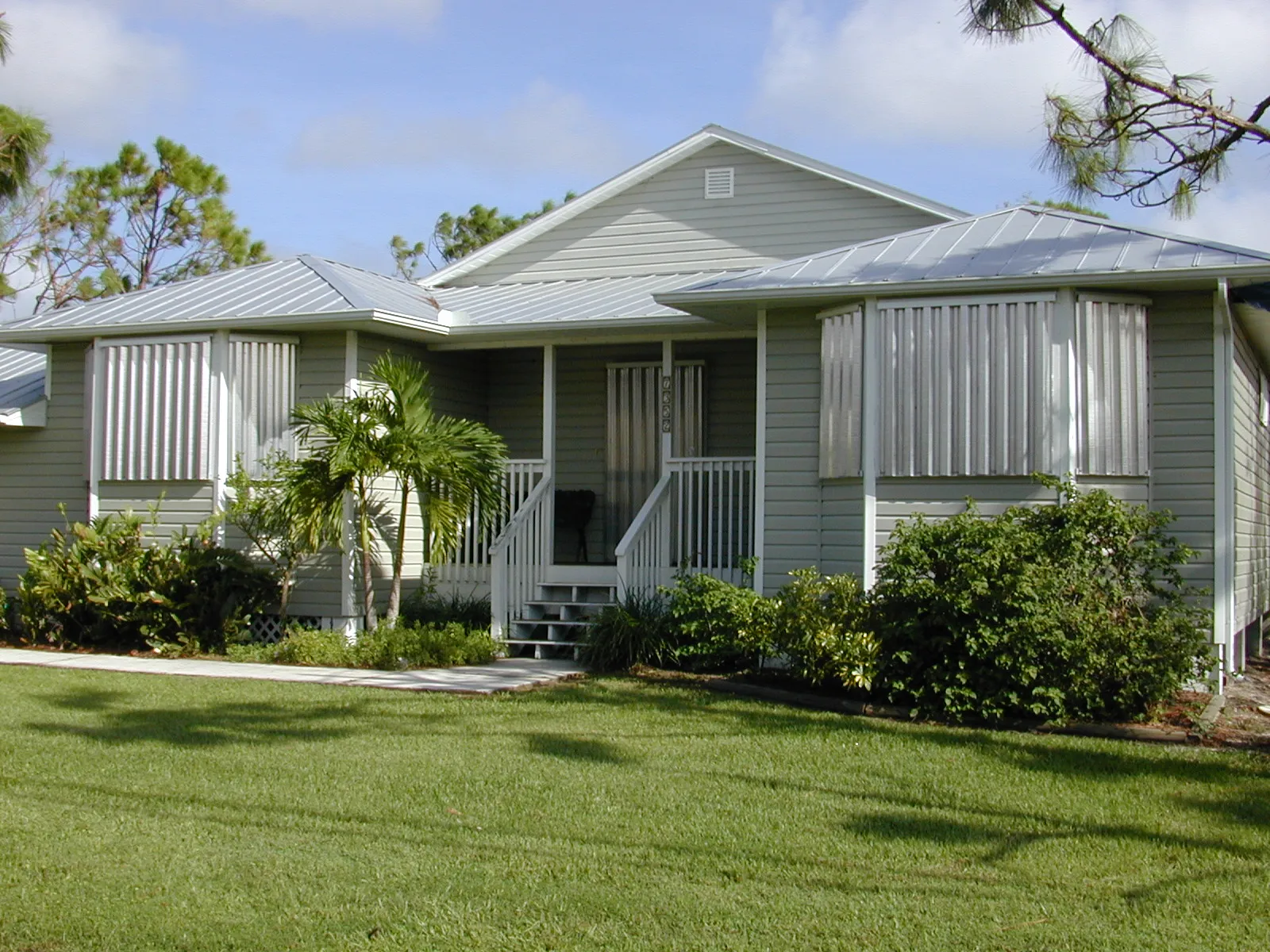
Charley was responsible for 15 direct deaths (10 in the United States, four in Cuba, and one in Jamaica), plus 25 indirect U.S. deaths. The NHC report’s revised U.S. damage estimate is $15.113 billion in 2004 dollars.1 As the first of four hurricanes (with Frances, Ivan, and Jeanne) to strike Florida in a six-week span in 2004, it opened an extraordinary season for the state and spurred major reforms to Florida's building codes and insurance market.