Few fields combine atmospheric science, aircraft engineering, and personal risk the way hurricane reconnaissance does. Whether you're a student researching tropical cyclones for a class project, a weather enthusiast tracking storms in real time, or someone weighing a career flying into hurricanes, an extraordinary range of educational resources is out there to deepen your understanding.1 This article is a comprehensive guide to the tools, data, museums, media, career pathways, and citizen science available in hurricane aviation.
Real-Time Mission Tracking
NHC’s aircraft reconnaissance page publishes mission plans, vortex messages, high-density observations and dropsonde reports. Product times and quality-control flags matter; these reports are not a guaranteed live position feed for every aircraft.
The 53rd Weather Reconnaissance Squadron publishes mission stories and outreach announcements through its official channels. Social-media posts are not a complete operational mission log.
NOAA’s research archives contain flight tracks and other data in project-specific formats. Check the archive documentation before assuming that a KML file or real-time map is available.
Third-party viewers can help visualize public observations. Their availability and processing differ; watching observations appear on a map does not demonstrate their effect on a particular forecast.
Flight Data & Science Education
After each season, the National Hurricane Center publishes Tropical Cyclone Reports for every named storm. These detailed post-season analyses summarize each cyclone's meteorological history, including how aircraft observations fed the real-time intensity and track assessments, and they're freely available through the NHC website as invaluable case studies for students and educators.2
NOAA's Hurricane Research Division (HRD), part of the Atlantic Oceanographic and Meteorological Laboratory (AOML) in Miami, publishes reanalysis datasets that incorporate aircraft reconnaissance: quality-controlled records of flight-level observations, dropsonde profiles, and derived products that researchers use to study hurricane structure and intensity change. HRD's archive is a major resource for graduate students and scientists in tropical meteorology.
NHC’s HURDAT2 best-track archive contains historical Atlantic cyclone records beginning in 1851, through its latest released season. It is revised as new evidence becomes available. It is not a complete inventory of every storm that actually occurred, and some pressure and wind-radius fields are missing in older records. Read the NHC archive documentation.
Museums & Tours
Seeing a Hurricane Hunter in person is unforgettable. NOAA's WP-3D Orions, N42RF ("Kermit") and N43RF ("Miss Piggy"), are based at Lakeland Linder International Airport in Lakeland, Florida, home of NOAA's Aircraft Operations Center. The facility isn't open to walk-in visitors, but NOAA AOC occasionally joins community events and air shows where the aircraft are displayed and crew members answer questions.
The 53rd is based at Keesler Air Force Base in Biloxi, Mississippi. Public access depends on announced events and security arrangements; check an official event notice before planning a visit.
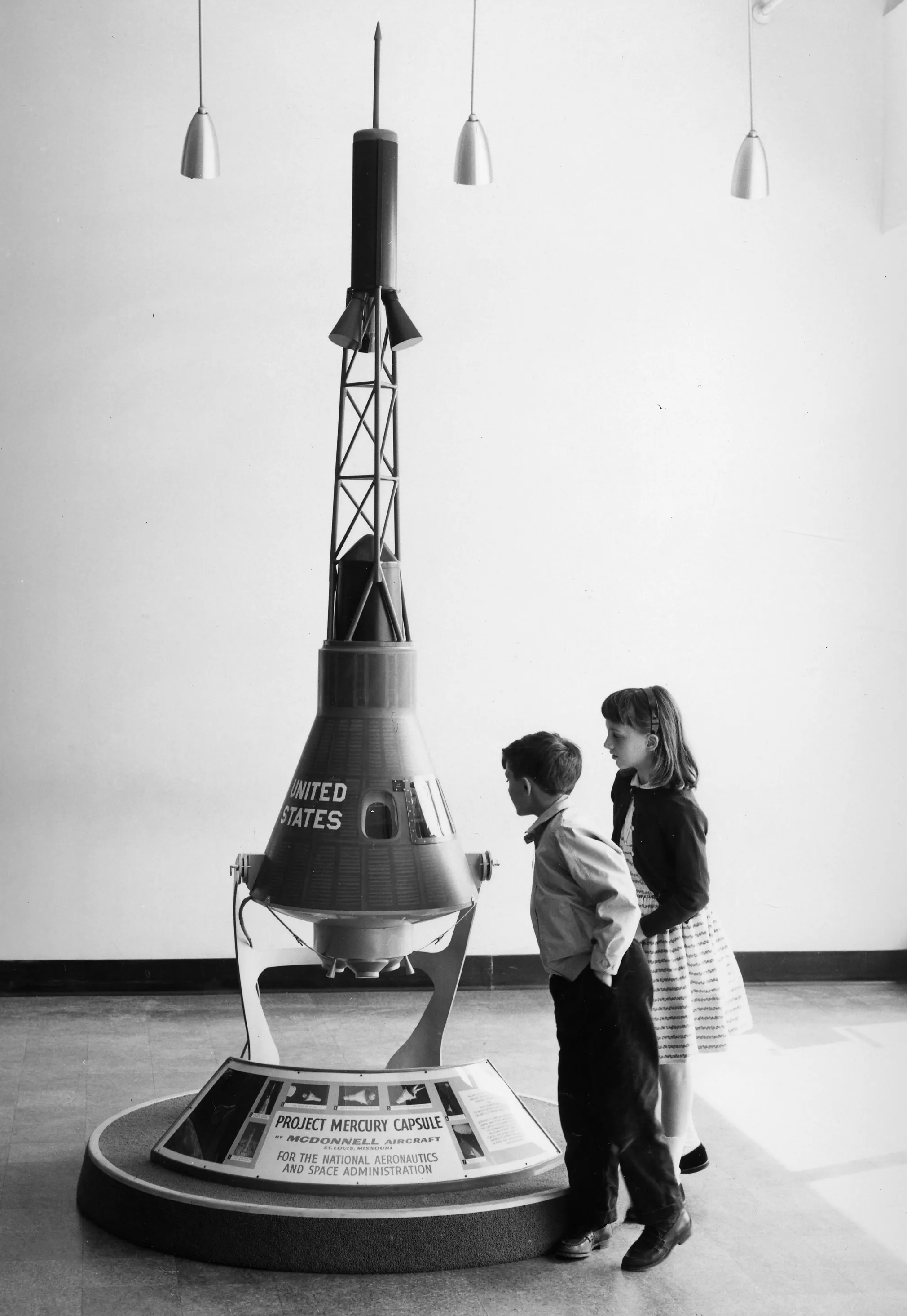
For museum visits, verify the venue’s official opening status, address and hours. A proposed hurricane museum should not be listed as an operating attraction without confirmation.
The National Hurricane Center in Miami, Florida, is the operational nerve center for Atlantic and eastern Pacific forecasting. It's a working government facility rather than a museum, but it takes part in special events and occasionally opens its doors to educational groups, a rare chance to see the forecast floor where specialists fuse reconnaissance data, satellite imagery, and model output into the warnings that protect millions.
Documentaries & Media
NOAA and the Air Force publish mission videos and interviews. Start with official collections when looking for documented aircraft operations; entertainment programs may use edited sequences that omit operational context.
Historical television series can offer additional context, but availability and episode coverage change. Check the producer’s listing for current availability.
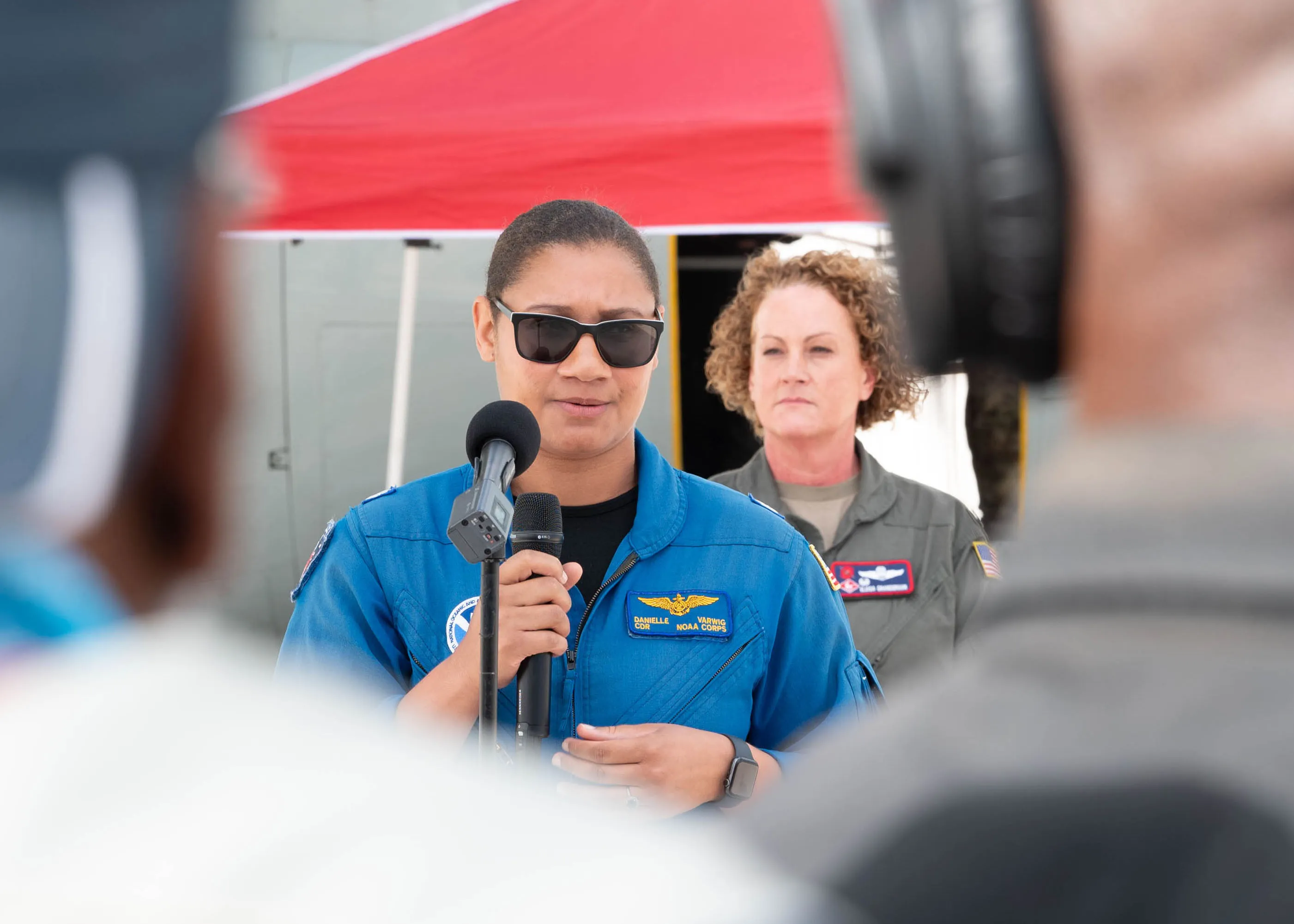
Documentaries can illustrate storm research. Distinguish reenactments and generic aircraft footage from recordings of the particular mission being described.
NOAA regularly publishes cockpit video from WP-3D flights on its official channels. Often recorded during eyewall penetrations, these videos show the violent turbulence the aircraft meets and the calm professionalism of the crew, serving as both education and a vivid demonstration of why aircraft reconnaissance remains essential.
STEM & Career Pathways
For students drawn to hurricane aviation, several career pathways lead to the cockpit, the instrument console, or the research lab, and knowing the education each requires matters for anyone seriously considering the field.
Meteorology Degrees
A bachelor's or master's degree in atmospheric science or meteorology is the foundation for most scientific careers in hurricane aviation. The American Meteorological Society (AMS) publishes curriculum guidelines for bachelor's programs in atmospheric science, and programs that meet them are widely recognized by employers including NOAA, the National Weather Service, and the Department of Defense.3 Core coursework includes dynamic, synoptic, and physical meteorology and atmospheric physics, alongside mathematics through differential equations and statistics.
NOAA Commissioned Officer Corps
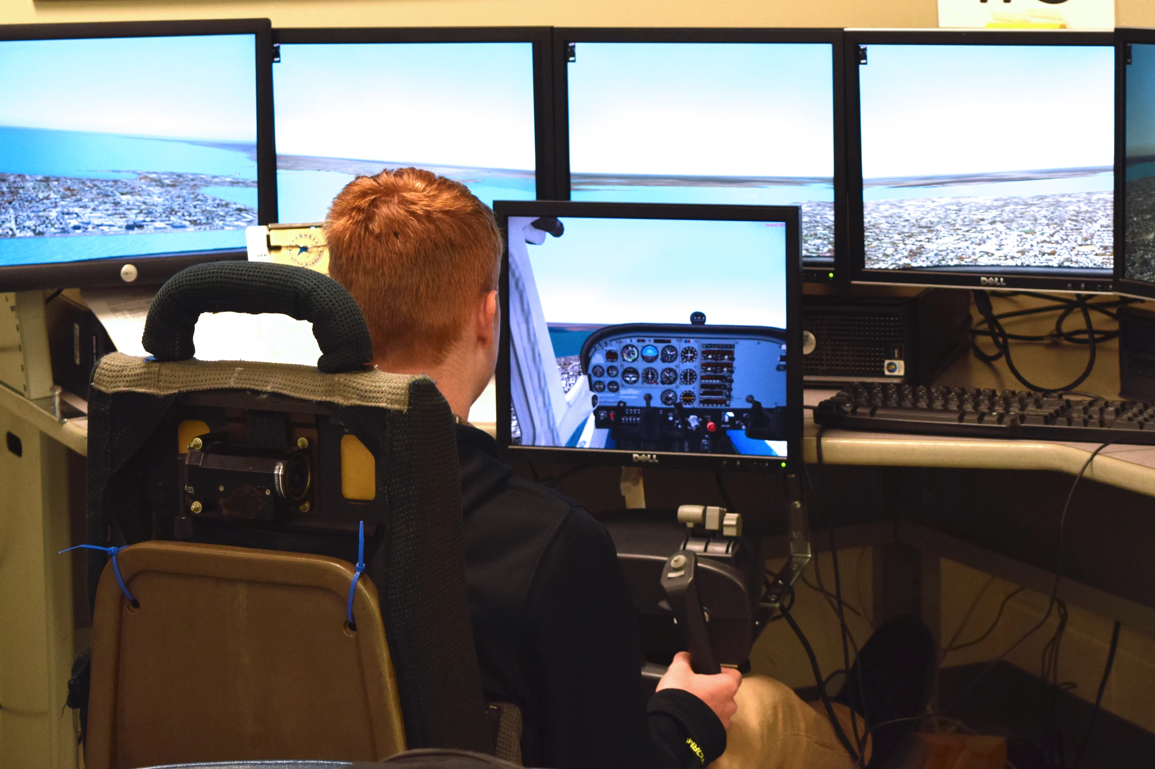
The NOAA Commissioned Officer Corps is one of the eight uniformed services of the United States. NOAA Corps officers serve as pilots and technical officers aboard NOAA's research and reconnaissance aircraft, including the WP-3D Orions and the Gulfstream IV-SP. Entry requires a bachelor's degree in a STEM field, U.S. citizenship, and meeting physical-fitness standards. Officers earn their wings through a mix of military flight training and NOAA-specific operational training, and they fly not only into hurricanes but also for fisheries surveys, coastal mapping, and atmospheric research.
USAF Weather Career Field
At the 53rd, aerial reconnaissance weather officers and weather reconnaissance loadmasters have different roles. The weather officer interprets observations and advises on the mission; the loadmaster operates dropsonde equipment. Enlisted weather forecasters are not automatically commissioned aerial reconnaissance weather officers.
Scholarships and Fellowships
NOAA and AMS offer student opportunities whose eligibility, funding and application windows change. Consult their current official education and scholarship pages before applying.
Flight Meteorologist Positions
NOAA flight-director and scientific positions require role-specific qualifications. Read the actual vacancy announcement; a master’s degree is not a universal requirement for every aircraft scientific role.
Citizen Science & Data Access
Here's the single most underused fact in this whole field: almost all of the data is free. The dropsonde profiles and best-track records that research is built on are one download away from a curious fourteen-year-old. NOAA's data is accessible through the National Centers for Environmental Information (NCEI), which archives and distributes the environmental data NOAA and its partners collect, and anyone, researcher, student, educator, or the merely curious, can pull reconnaissance observations, dropsonde profiles, and flight-level data from NCEI's portals.
For global tropical cyclone data, the International Best Track Archive for Climate Stewardship (IBTrACS) is the most comprehensive dataset available. Maintained by NCEI, it consolidates best-track data from every regional warning center worldwide into one unified dataset spanning the Atlantic, Pacific, Indian Ocean, and Southern Hemisphere basins, which makes it invaluable for studying global tropical cyclone climatology and trends. The original IBTrACS paper by Knapp, Kruk, Levinson, Diamond, and Neumann (2010) has been cited thousands of times and set IBTrACS as the standard reference.
Public data still requires interpretation. Before comparing historical storms, read the dataset documentation and account for changes in observing methods and coverage.
Citizen science programs offer hands-on ways to contribute to the observation network that supports forecasting. The Community Collaborative Rain, Hail & Snow Network (CoCoRaHS) lets volunteers across the U.S. report daily precipitation with standardized rain gauges, and those observations supplement the automated network and help the National Weather Service, river forecast centers, and researchers refine precipitation estimates during tropical cyclone landfalls.
NWS conducts routine upper-air observations at designated sites, generally twice daily. Not every local office launches balloons or accepts visitors. Arrange any visit with the office; student experiments need supervision and compliance with applicable aviation rules.
Classroom Activities & Lesson Plans
Educators at every level can find professionally developed resources for teaching hurricane science and aviation. NOAA's education portal provides lesson plans aligned with the Next Generation Science Standards (NGSS), from basic hurricane formation to the physics of atmospheric measurement, designed for grades K-12 and including hands-on activities, data-analysis exercises, and multimedia.
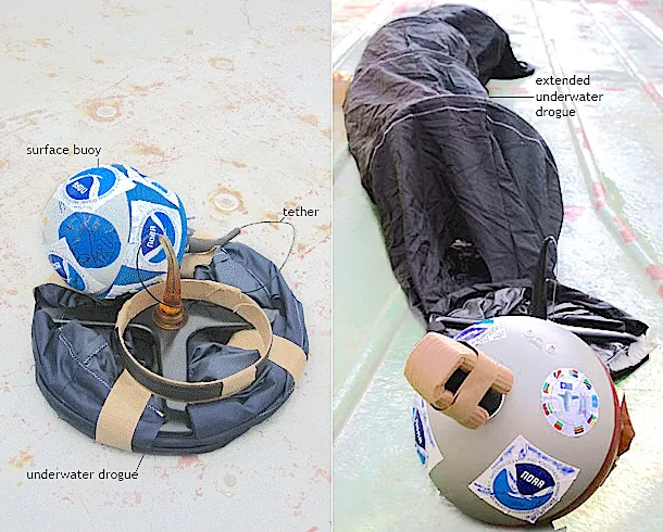
A supervised classroom sensor-and-parachute demonstration can illustrate atmospheric measurement. It is not an operational dropsonde or a reason to release equipment from an aircraft or into public airspace.
The AMS Education Program provides curriculum resources, professional-development workshops for teachers, and the DataStreme program, which connects K-12 educators with current meteorological datasets and teaching strategies. AMS materials emphasize data literacy and scientific reasoning, giving students the skills to interpret the same observations forecasters use daily.
UCAR’s Center for Science Education and the separate COMET program provide learning resources. COMET’s MetEd courses include tropical meteorology and satellite interpretation; registration and course requirements should be checked on the official site.
Flight-simulator exercises are another engaging classroom tool. With commercial flight-simulation software, educators can build exercises that demonstrate the challenges of flying through a hurricane, the turbulence, wind shear, and instrument-based navigation an eyewall penetration demands. They're simplified next to the real thing, but they give students an intuitive sense of why these missions require specialized aircraft and highly trained crews.
Nearly all reconnaissance data collected by NOAA and the National Hurricane Center is free, from real-time dropsonde profiles to the HURDAT2 record reaching back to 1851, so the tools to explore this science are open to anyone with curiosity and a connection. If this section has done its job, the natural next step isn't to read another article; it's to open one of these datasets, or start with the introduction to hurricane aviation and follow the thread from there, through the aircraft and the instruments that gathered every number in it.
Sources
-
UCAR Center for Science Education. (2024). Hurricanes. https://scied.ucar.edu/learning-zone/storms/hurricanes ↩
-
NOAA National Hurricane Center. Tropical Cyclone Reports Archive. https://www.nhc.noaa.gov/data/tcr/ ↩
-
American Meteorological Society. (2024). Bachelor's Degree in Atmospheric Science (AMS Statement). https://www.ametsoc.org/ams/about-ams/ams-statements/statements-of-the-ams-in-force/bachelors-degree-in-atmospheric-science/ ↩