While Hurricane Hunters fly straight into tropical cyclones, the rest of aviation does everything it can to stay far away from them. Hurricanes disrupt the National Airspace System on a massive scale, triggering Temporary Flight Restrictions, Ground Delay Programs, airport closures, and cancellations that ripple across the country. This article looks at how the FAA, commercial airlines, and general aviation prepare for, avoid, and recover from a hurricane's impact on civil aviation.
FAA Regulations and Airspace Restrictions
When a hurricane approaches the United States, the Federal Aviation Administration switches on a layered system of airspace restrictions and traffic-management initiatives meant to protect aircraft and keep operations orderly across the National Airspace System (NAS). The legal authority flows from Title 14 of the Code of Federal Regulations (14 CFR), and the operational coordination runs through the FAA's Air Traffic Control System Command Center (ATCSCC) in Warrenton, Virginia.
Here's an observation before the alphabet soup: for all the drama that attaches to the Hurricane Hunters, the lives on the civil side are quietly saved in windowless command centers like the one in Warrenton, by people rerouting airplanes hours before anyone at the gate senses a problem. It's the least cinematic part of hurricane aviation, and arguably the most consequential.
Temporary Flight Restrictions (TFRs) are the most visible regulatory tool. Under 14 CFR 91.137, the FAA can set a TFR to protect people and property on the surface or to keep the air clear for disaster-relief aircraft. During and just after a hurricane, TFRs routinely go up to keep unauthorized flights out of damaged areas so emergency helicopters and assessment aircraft can work without conflicting traffic.1 Additional restrictions under 14 CFR 91.141 protect the airspace around the President and other officials who may visit disaster areas, while 14 CFR 91.143 covers restrictions near space-flight operations, which can overlap hurricane TFRs along Florida's Space Coast.
The ATCSCC puts traffic-management initiatives (TMIs) in place as hurricanes threaten airports and en-route airspace. Ground Delay Programs (GDPs) assign departure delays to flights bound for an affected airport, holding aircraft at the origin rather than stacking them over a storm-threatened area. When conditions worsen, Ground Stops halt departures to the affected airport entirely. These programs are built through the Collaborative Decision Making (CDM) process, a partnership between the FAA and airlines that lets carriers share real-time flight data and jointly manage the flow.2
Airline Operations Centers (AOCs) are central to all of this. Every major airline runs one around the clock, staffed with dispatchers, meteorologists, and flow managers who talk directly to the ATCSCC and to each other on CDM teleconferences. When a hurricane is forecast to hit operations, these teams start adjusting schedules, rerouting flights, and repositioning aircraft days ahead of the storm.
How Airlines Reroute Around Hurricanes
For U.S. domestic Part 121 operations, dispatchers and pilots share operational responsibilities defined in regulation. Routing uses current weather hazards, aircraft capabilities, fuel, alternates and operator procedures. The NHC cone describes center-track uncertainty; it is not a safe boundary for flight, and a universal 100-nautical-mile center buffer is not established.1
A route outside the cone can still cross rainbands, turbulence or other hazards. Planning must account for the actual weather along the route and at diversion airports.
Rerouting bends a flight off its planned great-circle route, the shortest path between two points on the globe. A flight from New York to San Juan, Puerto Rico, might normally track south-southeast over the open Atlantic; if a hurricane sits across that line, the dispatcher may send it west over the mainland and down through the Gulf, or east on a longer oceanic arc. Every deviation adds distance, time, and fuel. Additional fuel depends on the aircraft, detour and operating conditions.
International reroutes add complexity. If a rerouted flight has to cross the airspace of a country that wasn't on the original plan, the dispatch team has to secure overflight permission from that nation's civil aviation authority. Many permissions come quickly through established channels, but some countries require advance notice, which can slow a rerouting decision.
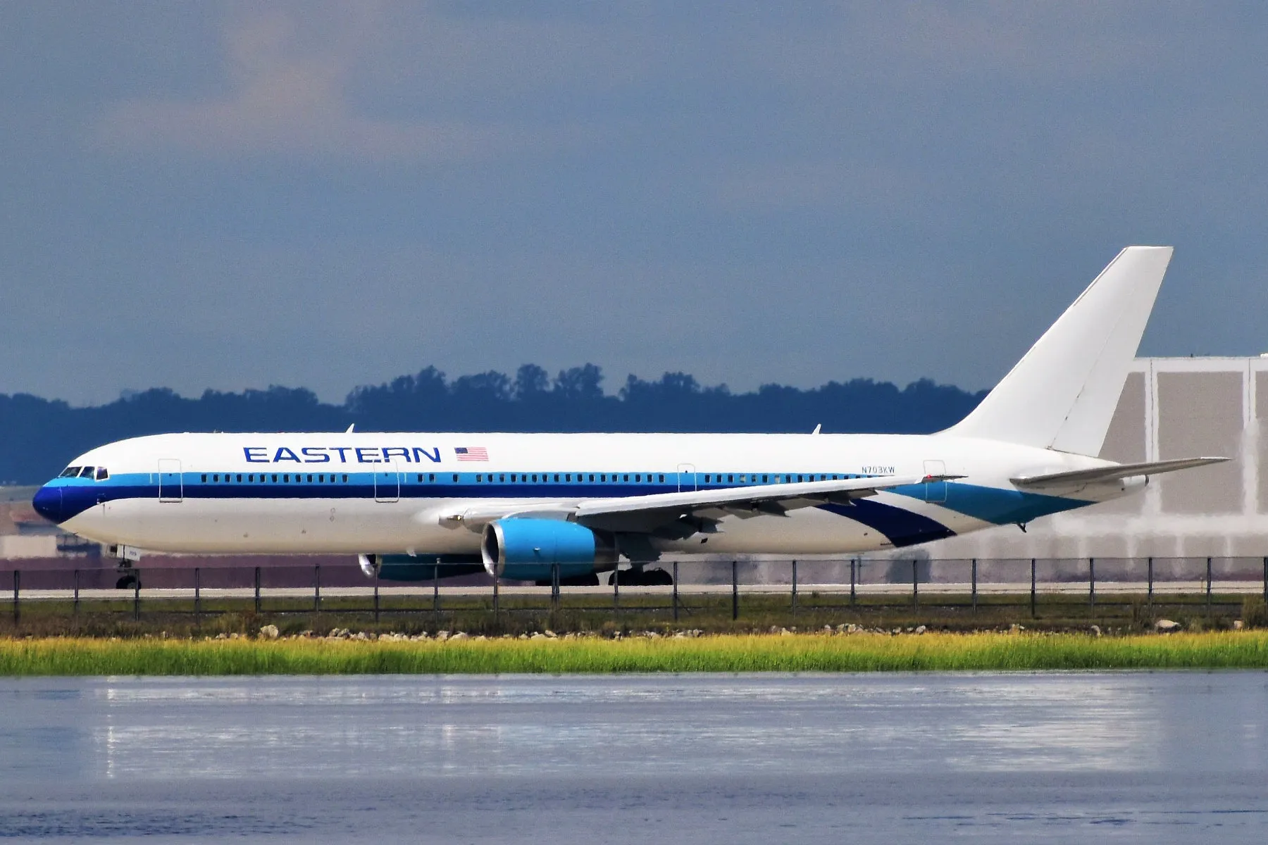
Extended Operations (ETOPS) add another layer for applicable operations beyond specified diversion-time limits. ETOPS rules require an aircraft to stay within a specified flying time of an adequate diversion airport at all times. When a hurricane closes airports that serve as ETOPS alternates, Bermuda, San Juan, Nassau, the diversion options shrink, and dispatchers may have to pick entirely different routings or cancel flights that can't meet ETOPS on the remaining alternates.1
Airlines coordinate their rerouting through CDM too. Because several carriers may try to reroute through the same alternative corridors at once, the ATCSCC works with them to deconflict the flows and keep the rerouted traffic from bottlenecking.
Airport Closures and Evacuation Procedures
A key point people often get wrong: the decision to close an airport belongs to the airport authority, the local government body that owns and runs it, not the FAA. The FAA controls the airspace and staffs the control tower, but the airport authority decides when to close the field. In practice the call is tightly coordinated between the authority, FAA tower management, the airlines, and emergency managers.
Airlines typically begin cancelling flights 24 to 48 hours before projected landfall, a balance between safety and service. Cancel too early and you disrupt travel for nothing if the storm turns; cancel too late and you strand aircraft and passengers at a threatened airport. Most major airlines have hurricane protocols with specific wind-speed thresholds and storm-proximity triggers for pulling the plug.
Airlines may reposition aircraft before hazardous conditions arrive. The timing depends on the airport and carrier; do not confuse cancellation of passenger services with formal closure of the entire airfield.
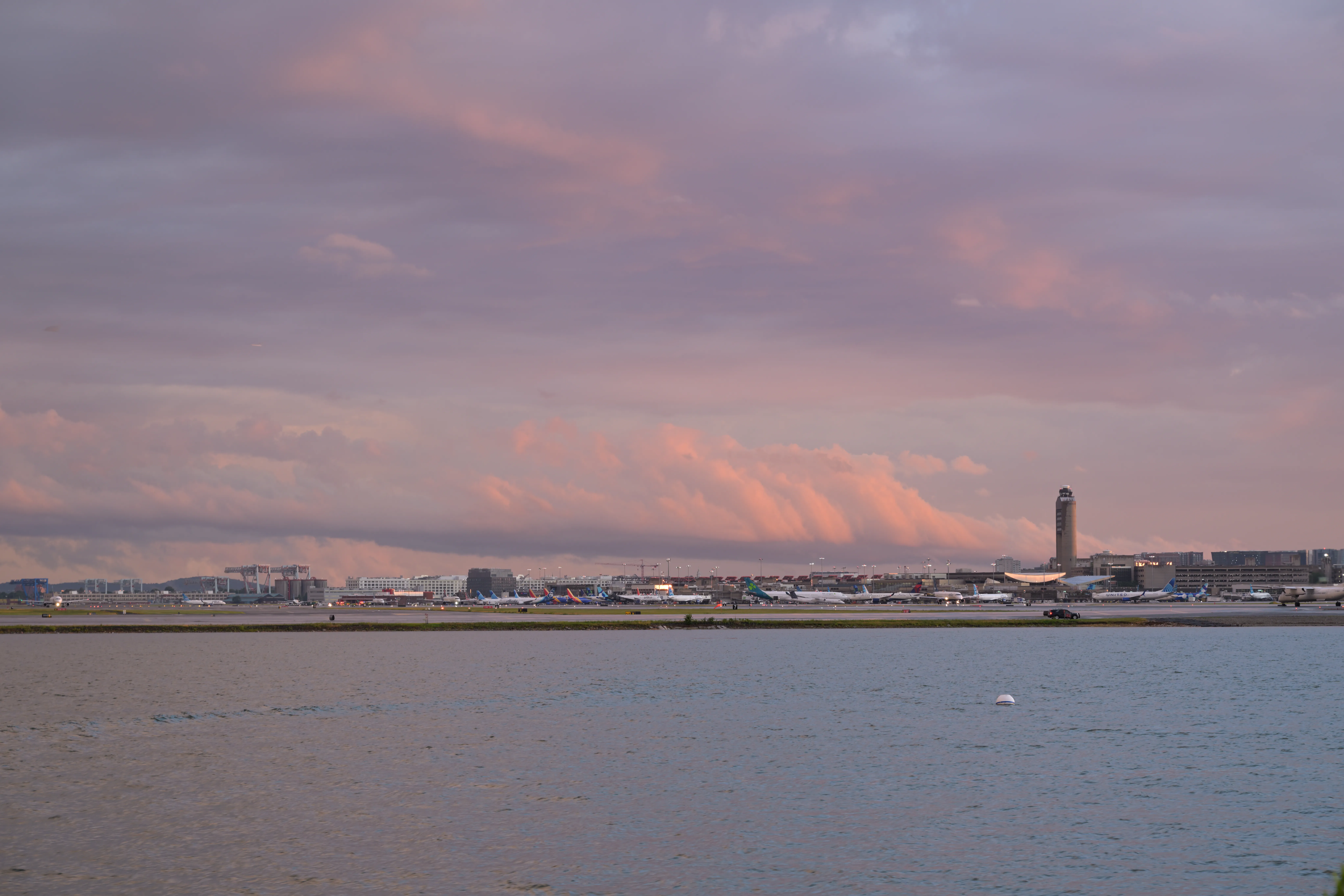
Hurricane Ian in September 2022 forced the closure of Southwest Florida International (RSW), Sarasota-Bradenton International (SRQ), and Tampa International (TPA), among others. Tampa ran a phased closure, halting commercial operations about 24 hours before the storm's closest approach and reopening only after runways and facilities were inspected and cleared.
FAA control towers have their own evacuation procedures. When sustained winds are forecast to exceed the structural limits of the tower cab, or conditions get unsafe for controllers, the FAA evacuates the facility: equipment is secured, backup power is tested, and controllers are relocated. The tower stays unmanned until post-storm assessments confirm it's safe to reoccupy and that radar, communications, and navigation aids all work.
Impact on Air Traffic Flow
Hurricanes hit not just individual airports but whole stretches of en-route airspace run by Air Route Traffic Control Centers (ARTCCs). In the Southeast, Jacksonville Center (ZJX) and Miami Center (ZMA) take the most tropical-cyclone impacts. Between them they control the airspace over Florida, the eastern Gulf, the Bahamas, and parts of the Caribbean, exactly the regions most exposed to Atlantic hurricanes.
When a storm's wind field and convection push into an ARTCC's airspace, controllers have to reroute traffic around it. That often means funneling flights that would normally cross Florida into narrow corridors over the western Gulf states or up the Atlantic seaboard, and the resulting congestion causes delays that cascade across the whole NAS, reaching airports and flights far from the storm.

Oceanic traffic takes a hit too. Flights between the mainland and the Caribbean or South America get routed away from the storm, often adding hours. Caribbean airports shut down in sequence as a hurricane moves through the island chain: a storm tracking west-northwest might close Barbados, then St. Lucia, then Puerto Rico, then the Dominican Republic over several days, a rolling wave of disruption.
Disruption creates costs through canceled services, detours and displaced crews and aircraft. Weather’s share depends on the delay or cancellation dataset and period; it is not always the leading cause of airline cancellations. See air-travel impacts.
General Aviation and Hurricane Preparedness
General aviation (GA) aircraft, including many privately operated piston and turboprop airplanes, are especially vulnerable, because many live outdoors on tiedown ramps rather than in hangars. Hurricane winds can flip, tumble, and wreck a tiedown aircraft even when it's properly secured. Many GA airports have no hurricane-rated hangars, and the ones that do often can't fit all the based aircraft.
Develop a relocation plan well before a threat and reassess the route, destination, weather, fuel and airport availability before departure. A calendar deadline such as 72 hours does not guarantee a safe flight.3
If relocation is not safely possible, follow the aircraft manufacturer’s securing instructions and airport guidance. AOPA discusses suitable anchors and control protection, including external gust locks where appropriate; it does not support a blanket prohibition on external locks or a universal instruction to defuel.3
Insurance adds urgency. Many aviation policies require the aircraft to be moved to safety or properly secured before a named storm arrives, and failing to comply can void a hurricane-damage claim. Pilots should read their policies well before the season starts.
Even so, GA aircraft take heavy losses in major hurricanes. After Hurricane Michael struck the Florida Panhandle in October 2018, the FAA and NTSB documented widespread destruction of GA aircraft across the region, including aircraft that had been hangared in structures that failed under the storm's Category 5 winds.
Post-Hurricane Airport Recovery
Reopening an airport after a hurricane is a methodical process that puts safety first at every step. The airport authority, FAA, and airlines each have defined roles, and operations don't resume until everyone agrees the field is safe.
The first step is a damage assessment by airport operations personnel and, when needed, structural engineers. Teams inspect runways, taxiways, and ramps for foreign object debris (FOD): tree branches, roofing, fence sections, anything the wind threw onto the airfield. FOD is a critical hazard, because even small objects can be ingested by a jet engine or puncture a tire during taxi, takeoff, or landing, so runways get walked or driven inch by inch until they're clean.
Navigation aids (NAVAIDs), including ILS (Instrument Landing System) localizers and glide slopes, VORs, and approach lighting, have to be inspected and, if necessary, recalibrated before instrument approaches can be authorized. FAA flight-inspection aircraft fly calibration checks to verify the NAVAIDs are transmitting accurate signals. Until those are done, the airport may be limited to visual approaches in good weather.
Loss of power can constrain airport recovery. Backup generation depends on equipment condition, fuel and maintenance; generators are not inherently limited to short-term operation.
Hurricane Michael severely damaged Tyndall Air Force Base. A damaged base, an unavailable runway and reduced operational capacity are different measures; a blanket claim that no limited flight operations resumed for months is not supported here.
Turbulence Hazards Near Hurricanes
You don't have to fly through a hurricane to meet dangerous turbulence from one. A hurricane's outer rainbands can throw severe turbulence at distances of 200 nautical miles (370 km) or more from the center. Those bands hold embedded thunderstorms with strong up- and downdrafts that can produce rapid altitude excursions and structural loads near or beyond an aircraft's design limits, and even between the bands, wind shear and turbulent eddies make for hazardous flying.
Aviation warnings identify specified hazards within their issuing office’s area. AWC’s domestic and international products have different scopes; a tropical-cyclone SIGMET is not a universal map of every turbulence, icing and wind-shear hazard.4
FAA guidance calls for wide avoidance of severe thunderstorms and intense echoes, including a minimum 20-mile separation in the AIM. This is not a guarantee of safety or a hurricane-center radius. Weather radar has limitations, and data-linked mosaic imagery can be too old for tactical maneuvering.1
Pilot Reports (PIREPs) are critical for building a real-time picture of turbulence near a storm. When a pilot hits turbulence, the report goes to ATC and out to other aircraft and to the AWC, which folds it into its advisories. PIREPs fill the gaps between automated observations with firsthand accounts of conditions at specific altitudes and places.
And here's the hazard that still catches professionals, precisely because you can't see it: clear-air turbulence (CAT) above a hurricane, at the interface with the jet stream. The massive outflow from a hurricane's upper-level anticyclone runs into the mid-latitude jet stream, creating zones of strong shear and turbulence at cruise altitudes (35,000 to 42,000 feet, or 10,700 to 12,800 meters) that may never show on weather radar because they happen in cloud-free air. A pilot cruising high and hundreds of miles from the storm can still hit unexpected moderate-to-severe turbulence from that interaction. It's a good reminder that a hurricane's reach, in the air as on the ground, extends well past the part you can see, which is the same lesson the whole aviation section keeps coming back to.
Sources
-
Federal Aviation Administration. (2024). Aeronautical Information Manual. U.S. Department of Transportation. https://www.faa.gov/air_traffic/publications/atpubs/aim_html/ ↩ ↩2 ↩3 ↩4
-
Federal Aviation Administration. (2023). Air Traffic Control (Order JO 7110.65). https://www.faa.gov/air_traffic/publications/ ↩
-
Aircraft Owners and Pilots Association. (2024). Hurricanes: Preparedness and Securing Your Aircraft. https://www.aopa.org/training-and-safety/active-pilots/safety-and-technique/weather/hurricanes ↩ ↩2
-
NOAA Aviation Weather Center. (2024). AWC Product Information: SIGMETs and Tropical Cyclone Advisories. NOAA. https://aviationweather.gov/help/data/ ↩