Hurricane Irma was one of the most powerful Atlantic hurricanes ever recorded. In September 2017 it reached maximum sustained winds of 155 knots (180 mph), devastated the northern Leeward Islands, and then struck the Florida Keys and southwest Florida, prompting one of the largest evacuations in U.S. history.
Meteorological History
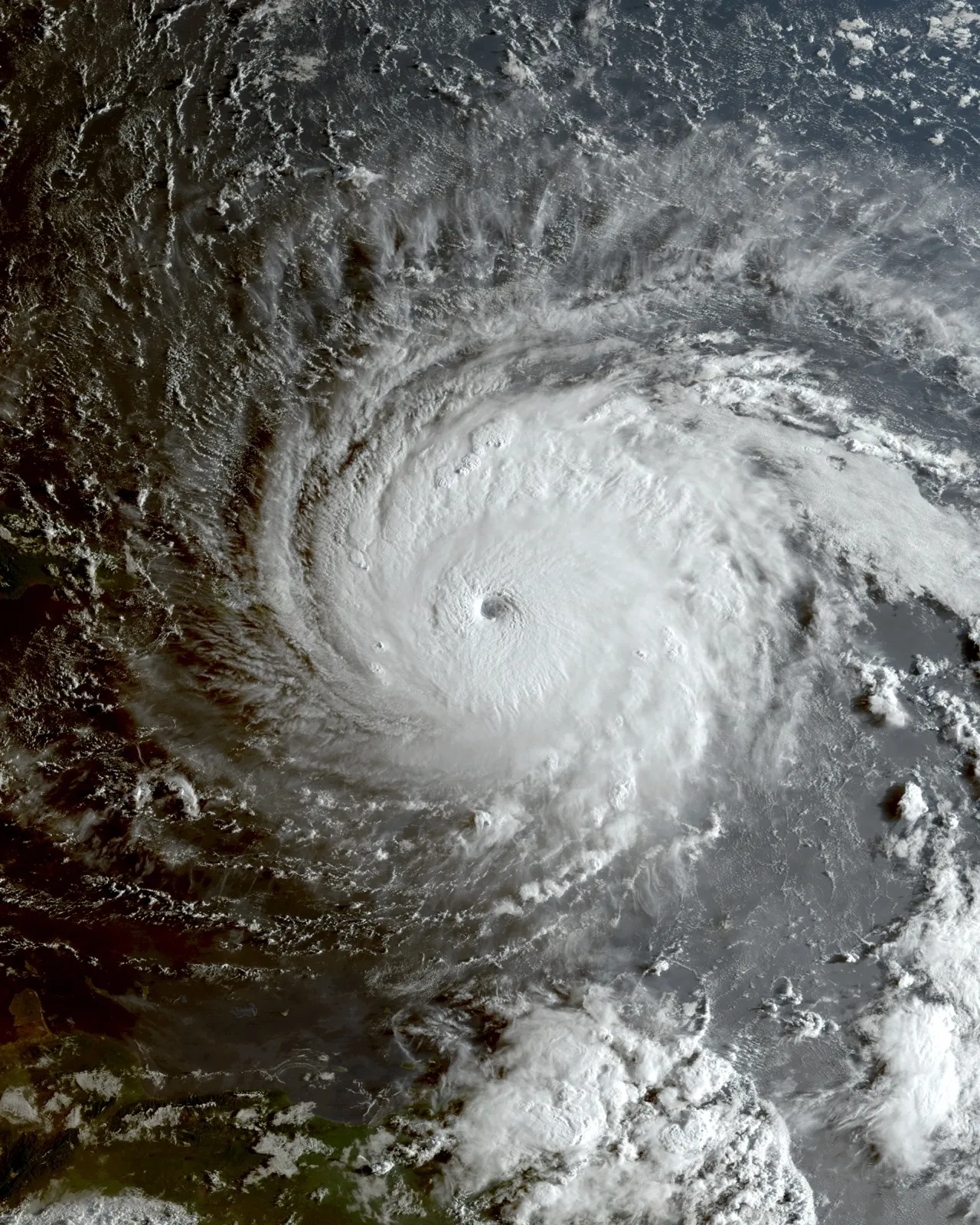
Irma developed from a tropical wave near the Cabo Verde Islands in late August 2017 and intensified rapidly over the open Atlantic. On September 5 it reached peak intensity with sustained winds of 180 mph (290 km/h) and a minimum pressure of 914 mb, becoming the first Category 5 hurricane on record to strike the Leeward Islands.1 The NHC report records a continuous 60-hour period at Category 5 intensity, followed later by another Category 5 period; that is not the same as 60 hours at its peak wind.1
Irma's strength was modulated by eyewall replacement cycles as it tracked west-northwest across the Atlantic, but it remained an exceptionally powerful hurricane for days, holding Category 5 status for roughly three days in total.1 After devastating the northern Leeward Islands, it skirted the north coast of Cuba on September 9 and briefly came ashore on the Camagüey Archipelago, making Irma only the second Category 5 hurricane on record to strike Cuba, after the 1924 Cuba hurricane.1 Interaction with the Cuban coast weakened Irma to Category 2, but it re-intensified over the warm waters of the Florida Straits as it turned north toward the Florida Keys.
Caribbean Devastation
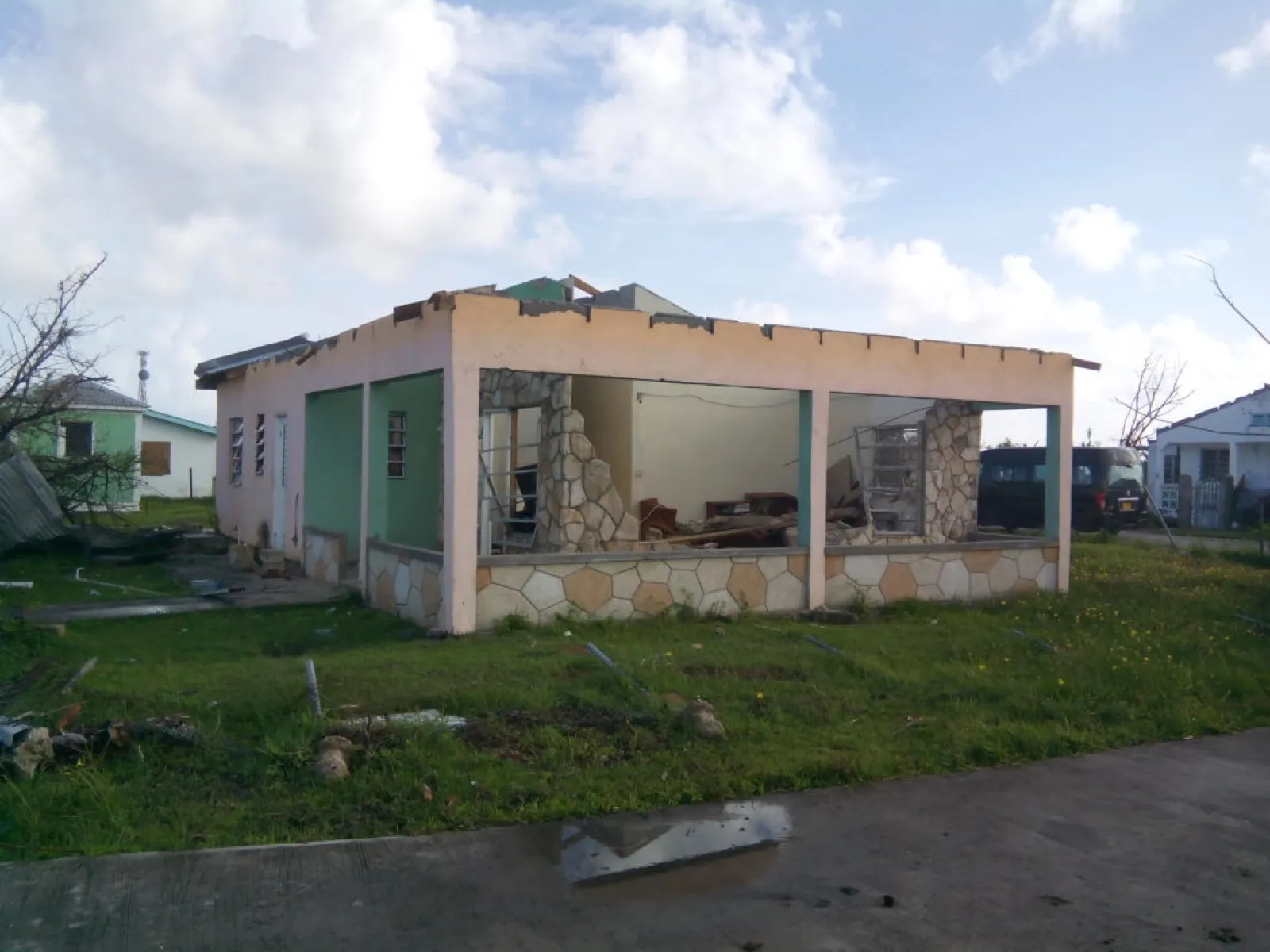
Irma's eyewall passed directly over Barbuda, Saint Martin, the British and U.S. Virgin Islands, and other northern Caribbean islands, causing catastrophic destruction. Barbuda was left almost entirely uninhabitable, with nearly all structures damaged or destroyed and the island evacuated for the first time in modern history. Across the northern Caribbean, Irma was responsible for dozens of deaths and the wholesale loss of housing and infrastructure.1
The devastation was most complete on Barbuda, where roughly 95% of structures were damaged or destroyed and the entire population was evacuated to Antigua, leaving the island essentially uninhabited for the first time in centuries.1 On Saint Martin and Sint Maarten, Irma wrecked the international airport, marinas, and a large share of buildings, while the British and U.S. Virgin Islands, Anguilla, and the Turks and Caicos also suffered catastrophic damage. The hurricane's Caribbean fatalities spanned the French West Indies, the Virgin Islands, Cuba, Barbuda, and Puerto Rico, and recovery on several islands stretched on for years.1
Florida Landfall and Evacuation
After raking the north coast of Cuba, Irma turned north and made its first Florida landfall at Cudjoe Key on September 10 as a Category 4, then a second landfall near Marco Island as a Category 3.1 With the storm's enormous size and an uncertain track, millions of people were ordered to evacuate across Florida. Irma drove significant storm surge along the southwest coast, knocked out power to millions, and produced damaging winds the length of the peninsula.
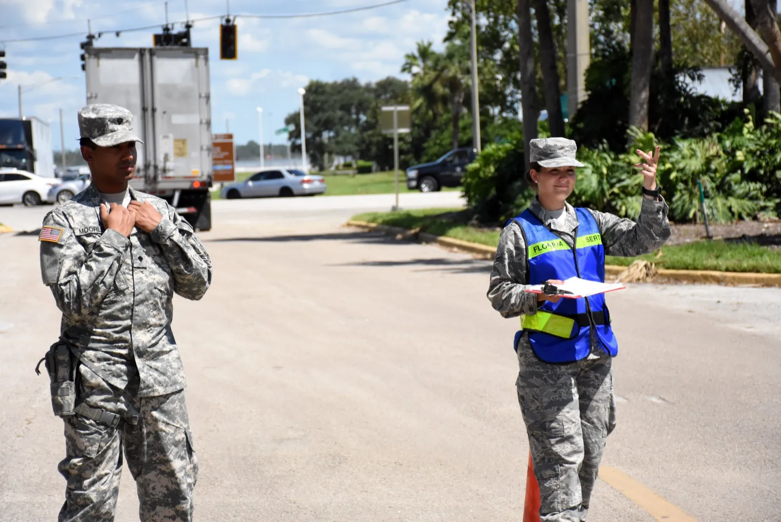
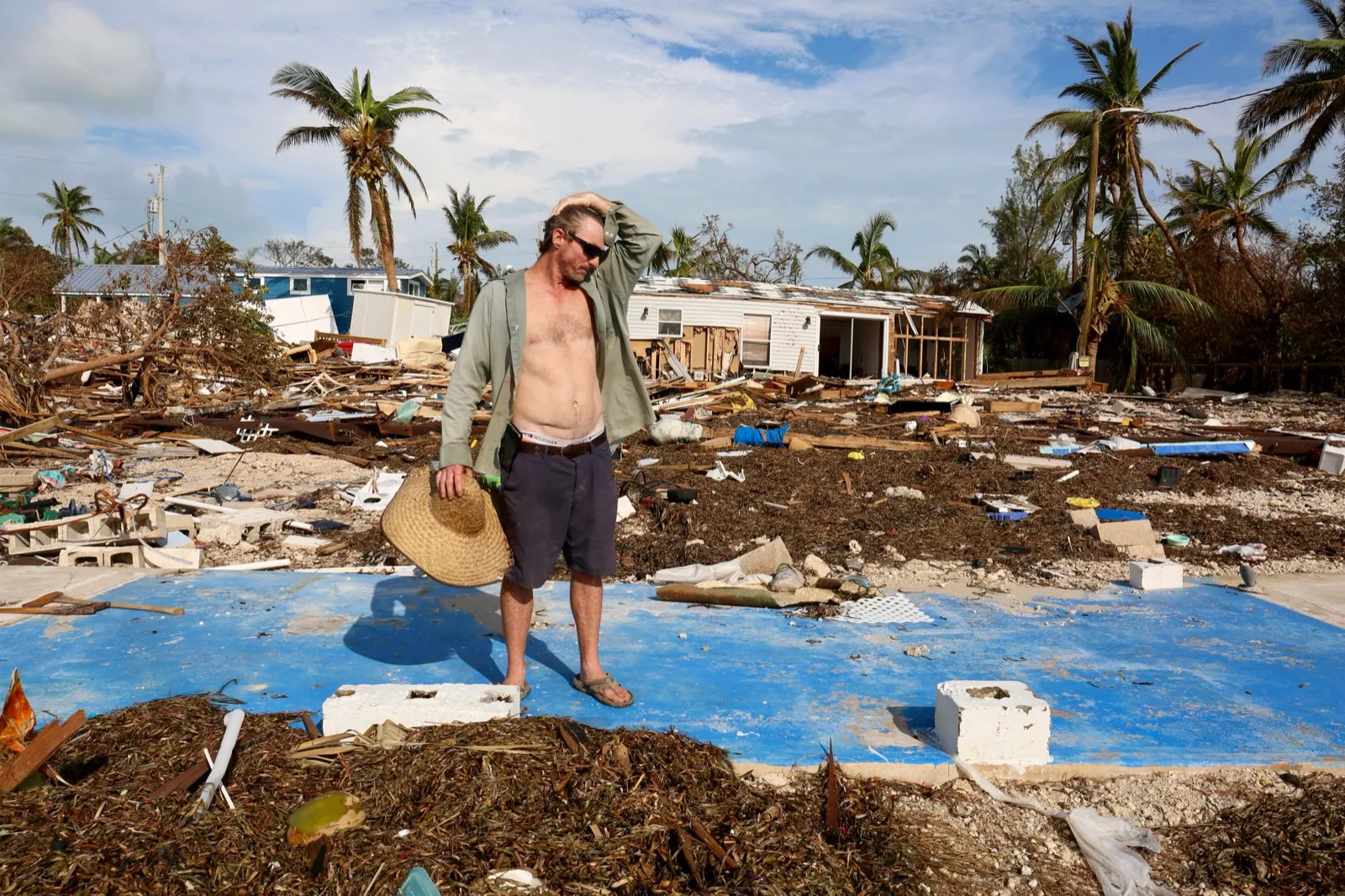
In the Florida Keys, the eyewall destroyed or heavily damaged a large share of homes, and surge and wind left a long trail of destruction up the southwest coast through Naples and Marco Island.1 The hurricane knocked out power to millions of customers statewide and strained fuel, shelter, and highway capacity for the millions who had taken to the roads ahead of landfall, exposing how difficult it is to evacuate a long, densely populated peninsula when a storm's track remains uncertain until the final days.
Evacuation orders and the number of people who actually leave are different measures. Planning must account for transport, fuel, shelter, and residents who need assistance; follow local evacuation zones and instructions.
Impacts
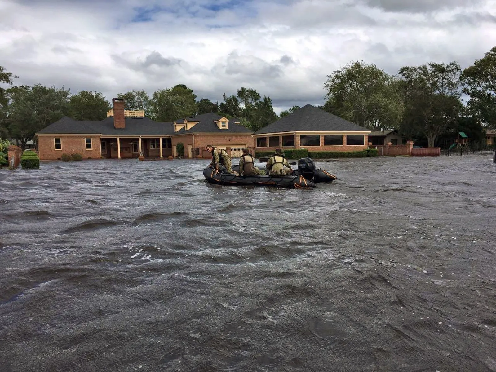
NHC reports 46 direct deaths across the Caribbean and southeastern United States. The U.S. portion includes 10 direct deaths and 82 indirect deaths. The report estimates approximately $50 billion in U.S. damage in 2017 dollars; that figure is not a Caribbean-wide loss total.1
Legacy
Irma reshaped hurricane preparedness in Florida, exposing the difficulty of evacuating a peninsula when a storm's track is uncertain and fuel, shelter, and highway capacity are strained. Its devastation in the northern Caribbean drew international attention to the vulnerability of small island nations to the most intense hurricanes, and its records for sustained extreme intensity remain reference points in tropical meteorology.1 Ranking among the most powerful Atlantic hurricanes ever measured, both by peak winds and by the duration of its extreme intensity, Irma stands as a benchmark for the destructive potential of long-track Cabo Verde hurricanes. For where it sits among the costliest storms and the long-term trends in Atlantic intensity, the record it set is one we expect to be tested again.