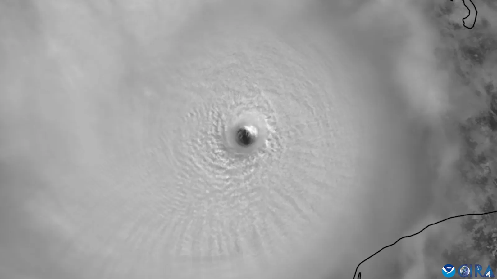
Hurricane Milton was one of the most intense Atlantic hurricanes ever recorded, striking Florida's west coast in October 2024 just two weeks after Hurricane Helene. It underwent extraordinary rapid intensification over the Gulf of Mexico and, though it weakened before landfall, spawned a deadly tornado outbreak across the Florida peninsula.
Meteorological History
Milton formed in the southwestern Gulf of Mexico in early October 2024 and intensified with breathtaking speed, reaching Category 5 strength with peak sustained winds of 180 mph (290 km/h) and a minimum pressure of 895 mb, tying Hurricane Rita (2005) as the most intense Atlantic hurricane ever recorded in the Gulf of Mexico.1 Encountering wind shear near the coast, Milton weakened before making landfall near Siesta Key, Florida, on October 9, 2024, as a Category 3 with sustained winds of 115 mph (185 km/h).1
Tornadoes and Impacts
Even before the center arrived, Milton's outer bands produced an unusually intense and deadly tornado outbreak across central and southern Florida, an uncommon hazard at that scale during a hurricane.1 Milton brought damaging winds, storm surge along the Sarasota–Tampa Bay coast, and heavy rainfall with freshwater flooding. Striking a region still recovering from Helene's surge just nearly two weeks earlier, it compounded the strain on response and recovery.
Toll
The NHC reports 15 direct deaths: 12 in Florida and three in Mexico. It also reports 27 indirect deaths in Florida, for 42 identified deaths in those groups; six people were reported missing from a Mexican fishing boat. Estimated U.S. damage was $34.3 billion in 2024 dollars.1
Legacy
Milton extended a troubling modern pattern of extreme rapid intensification in the warm Gulf of Mexico, and its destructive tornado outbreak highlighted a sometimes-underappreciated hurricane hazard. Coming on Helene's heels, it also underscored the cumulative toll of back-to-back strikes on the same region.1
Milton’s rapid intensification and subsequent weakening make it important to distinguish peak intensity from conditions at landfall. Evaluating forecasts and protective measures requires examining their timing, the hazards that occurred, and the people exposed. See hurricane season trends for the wider record.