Hurricane Rita was a rare Category 5 hurricane that struck the Texas–Louisiana border in September 2005, less than a month after Katrina. Although it weakened before landfall, Rita is remembered as much for its chaotic, deadly evacuation as for the storm itself.
Meteorological History
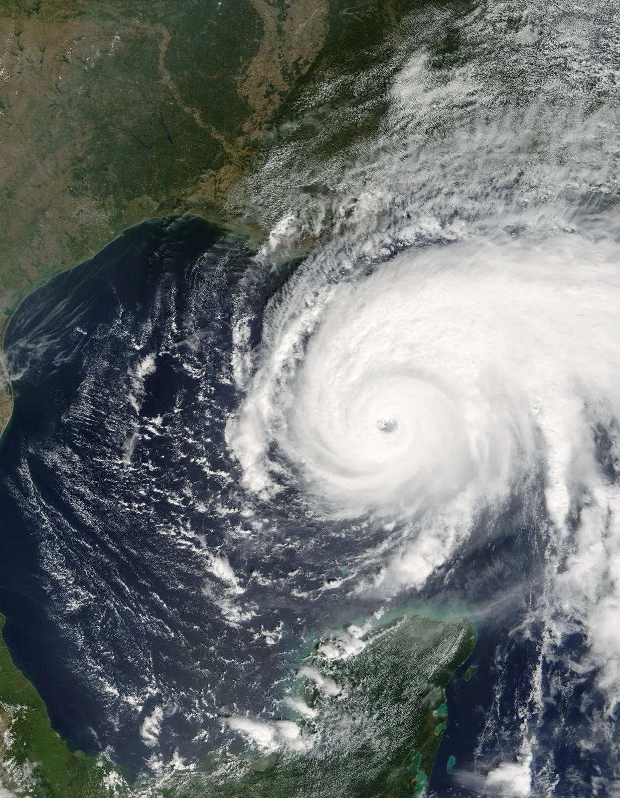
Rita formed near the Bahamas and intensified explosively over the Gulf of Mexico, reaching Category 5 strength with peak sustained winds of 180 mph (290 km/h) and a minimum pressure of 895 mb, at the time the third-lowest pressure ever recorded in the Atlantic basin.1 It weakened before coming ashore near the Texas–Louisiana border, between Sabine Pass and Johnson's Bayou, early on September 24, 2005, as a Category 3 with sustained winds near 115 mph (185 km/h).1
Rita's 895 mb pressure made it the most intense hurricane ever recorded in the Gulf of Mexico at the time, a mark it now shares with Hurricane Milton (2024), measured by minimum central pressure.1 It deepened explosively over the Gulf's warm loop current before encountering wind shear and cooler shelf water that eased it down to Category 3 by landfall.
The Evacuation Disaster
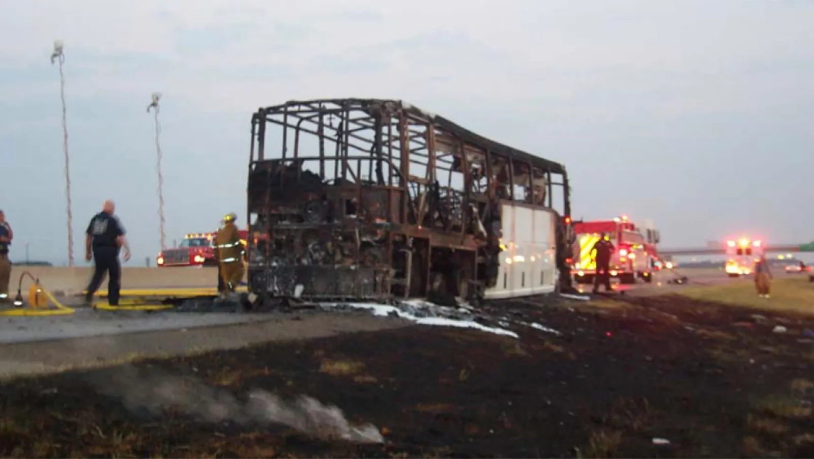
Coming so soon after Katrina, Rita triggered one of the largest evacuations in U.S. history, with millions fleeing the Houston–Galveston region. The mass exodus produced catastrophic gridlock: highways became parking lots, vehicles ran out of fuel in extreme heat, and a bus carrying nursing-home evacuees caught fire, killing 23 people. The evacuation itself caused far more deaths than the hurricane's direct impacts, a sobering lesson in evacuation planning.1
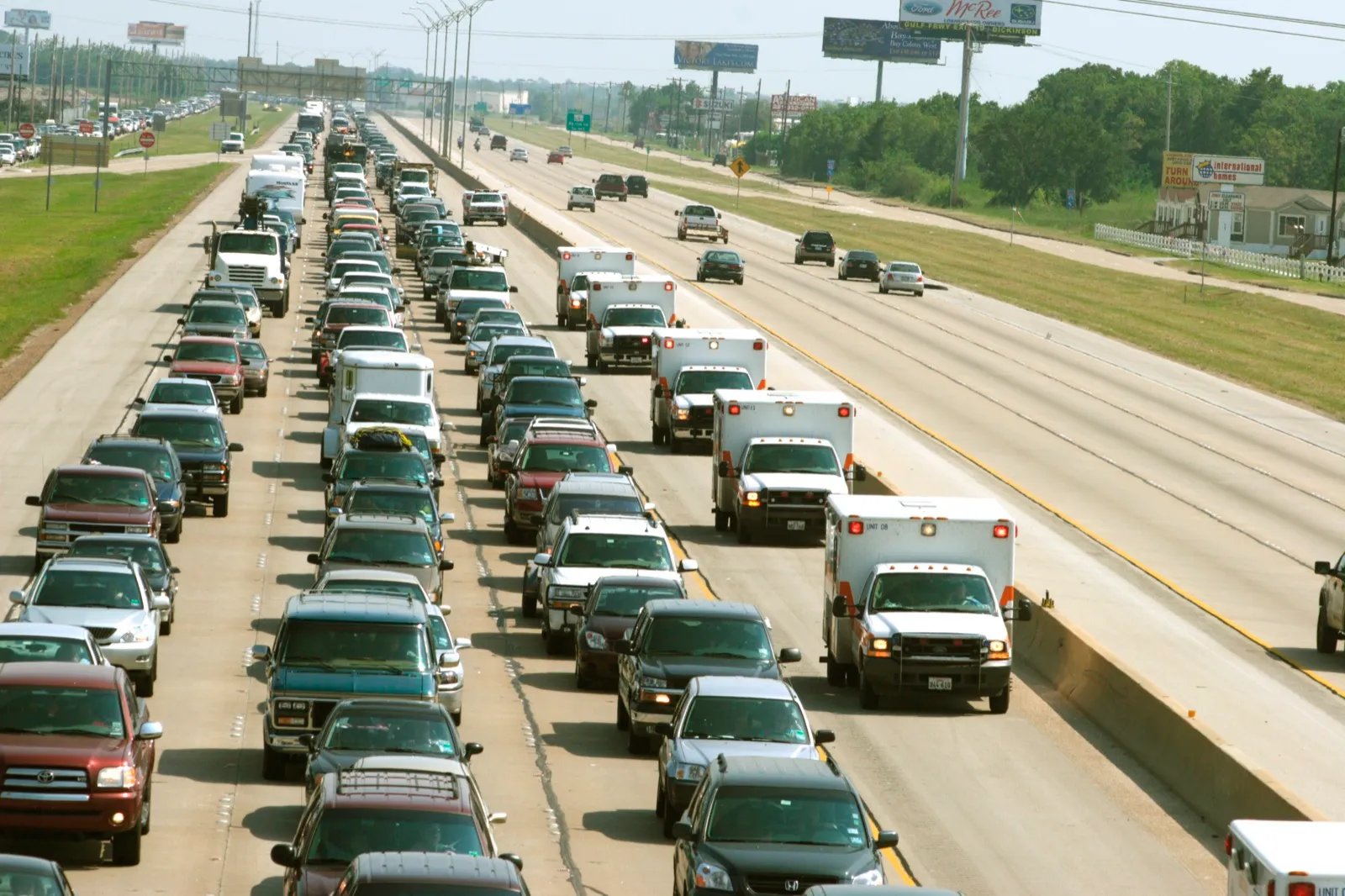
The NHC describes an evacuation involving more than two million people. Its report identifies seven direct deaths and at least 55 indirect deaths in Texas, including deaths associated with evacuation. These classifications should not be combined with other studies’ totals without checking which places and causes they include.1
Rita showed why evacuation plans need transport for people who cannot drive, medical support, fuel, and traffic management. Follow local evacuation instructions and leave on the advised timetable; the risks of a poorly supported evacuation do not make remaining in a threatened surge zone safe.
Toll
The NHC estimates $12.037 billion in U.S. damage in 2005 dollars. Its report lists seven direct deaths and at least 55 indirect deaths in Texas.1
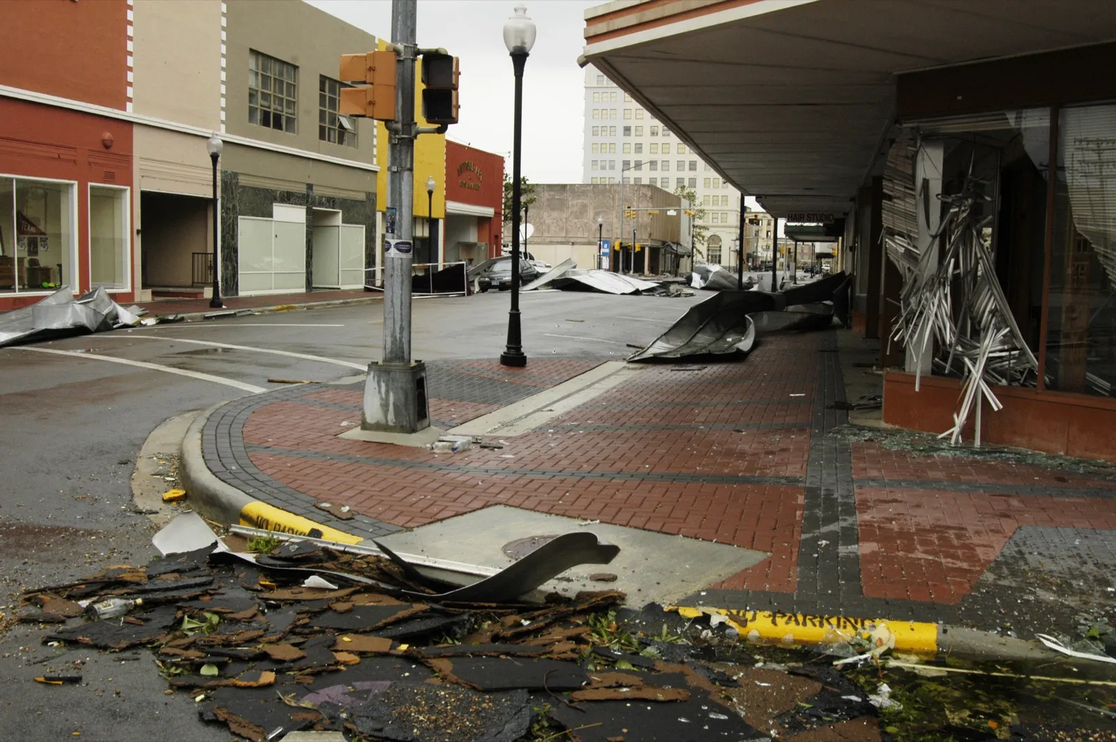
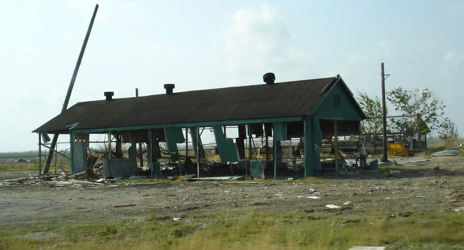
Rita’s surge and winds devastated southwestern Louisiana, including Cameron Parish. Water also overtopped repaired levees in New Orleans and flooded parts of the city again, weeks after Katrina.1
Legacy
Rita reshaped how Gulf Coast metros plan mass evacuations, prompting reforms in contraflow highway operations, fuel staging, and the evacuation of vulnerable populations such as nursing-home residents. Evacuation itself carries risks that require planning.1 The same tension returned with Irma in 2017, when evacuation orders covered an estimated 6.5 million Floridians, and evacuation planning remains difficult for large coastal metros.